
Fitxategi:Syria adm location map.svg

Bereizmen handikoa (SVG fitxategia, nominaldi 921 × 806 pixel, fitxategiaren tamaina: 274 KB)
Fitxategi hau Wikimedia Commonsekoa da. Hango deskribapen orriko informazioa behean duzu. |
Laburpena
| Deskribapena |
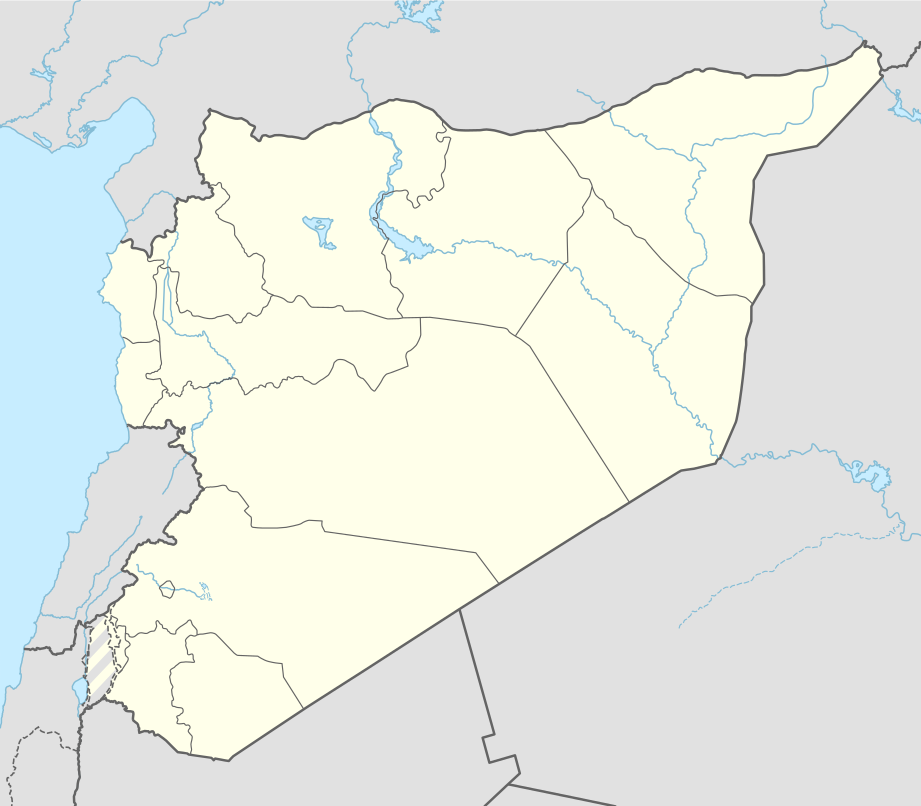
Deutsch: Positionskarte von Syrien
English: Location map of Syria
|
||||||||||||
| Data | |||||||||||||
| Jatorria |
Own work using:
|
||||||||||||
| Egilea | NordNordWest | ||||||||||||
| SVG genesis | Fitxategi hau (bektore-irudia) hau Generator: NordNordWest-ekin sortu da .
|
||||||||||||

Lizentzia
Usage of this file with:

explanatory notes: Legally binding is only the full legalcode. For a free usage I recommend to respect the following licence conditions:
1. Provide my name as given above: NordNordWest,
2. a copy of, or the URI for, the applicable license: https://creativecommons.org/licenses/by-sa/3.0/de/legalcode,
3. the title of the work,
4. in the case of an adaptation, a credit identifying the use of the work in the adaptation.
This license and the rights granted hereunder will terminate automatically upon any breach by you of the terms of this license. Any of the above conditions can be waived if you get permission from the copyright holder. If you have questions or wish differing conditions, please contact me through nnwest or my discussion page ![]() t-online.de
t-online.de
- Askea zara:
- partekatzeko – lana kopiatzeko, banatzeko eta bidaltzeko
- birnahasteko – lana moldatzeko
- Ondorengo baldintzen pean:
- eskuduntza – Egiletza behar bezala aitortu behar duzu, lizentzia ikusteko esteka gehitu, eta ea aldaketak egin diren aipatu. Era egokian egin behar duzu hori guztia, baina inola ere ez egileak zure lana edo zure erabilera babesten duela irudikatuz.
- berdin partekatu – Lan honetan oinarrituta edo aldatuta berria eraikitzen baduzu, emaitza lana hau bezalako lizentzia batekin argitaratu behar duzu.

Fitxategiaren historia
Data/orduan klik egin fitxategiak orduan zuen itxura ikusteko.
| Data/Ordua | Iruditxoa | Neurriak | Erabiltzailea | Iruzkina | |
|---|---|---|---|---|---|
| oraingoa | 16:05, 18 azaroa 2022 | | 921 × 806 (274 KB) | GrandEscogriffe | more correct N/S stretching |
| 13:51, 27 apirila 2021 |  | 921 × 761 (190 KB) | NordNordWest | Reverted to version as of 21:21, 26 April 2021 (UTC), COM:OW | |
| 10:54, 27 apirila 2021 |  | 512 × 423 (117 KB) | ויקי4800 | ImReverted to version as of 18:19, 26 April 2021 (UTC) | |
| 23:21, 26 apirila 2021 |  | 921 × 761 (190 KB) | NordNordWest | Reverted to version as of 17:52, 27 January 2016 (UTC), nope | |
| 20:19, 26 apirila 2021 |  | 512 × 423 (117 KB) | ויקי4800 | תיקון גבולות מדינת ישראל | |
| 19:52, 27 urtarrila 2016 |  | 921 × 761 (190 KB) | NordNordWest | upd | |
| 17:07, 28 iraila 2015 |  | 921 × 761 (191 KB) | NordNordWest | == {{int:filedesc}} == {{Information |Description= {{de|1=Positionskarte von Syrien}} {{en|1=Location map of Syria}} {{Location map series N |stretching=115 |top=37.6 |bottom=32.0 |left=34.9 |right=42.7 }} |Source={{Own using}} * United States National... |
Irudira dakarten loturak
Hurrengo orrialdeek dute fitxategi honetarako lotura:
Fitxategiaren erabilera orokorra
Hurrengo beste wikiek fitxategi hau darabilte:
- af.wikipedia.org proiektuan duen erabilera
- als.wikipedia.org proiektuan duen erabilera
- an.wikipedia.org proiektuan duen erabilera
- ar.wikipedia.org proiektuan duen erabilera
- الدولة الزنكية
- الدولة الإلخانية
- بانياس
- ابن قيم الجوزية
- سجن تدمر
- تفسير ابن كثير
- أرواد
- قائمة مطارات سوريا
- سجن عدرا
- سجن المزة
- بقين
- دير مار موسى الحبشي
- قدسيا الجديدة
- عين حور
- نصيب
- الهامة
- تالين (بانياس)
- قدسيا
- معان (حماة)
- مجزرة الحولة
- ضهر صفرا
- المحطة الحرارية (بانياس)
- بطولة اتحاد غرب آسيا لكرة القدم 2002
- قائمة مواقع التراث العالمي في سوريا
- وحدة:Location map/data/Syria
- ضريح سليمان شاه
- مجزرة حطلة
- مجزرة عدرا
- مطار حماة العسكري
- مجزرة معان
- مجزرة خان العسل
- عمليات القصف في حلب (أبريل–يوليو 2016)
- تفجيرا القامشلي يوليو 2016
- وحدة:Location map/data/Syria/شرح
- تفجيرات 5 سبتمبر 2016 في سوريا
- برهليا
- غارة دير الزور الجوية (سبتمبر 2016)
- الحسينية (ريف دمشق)
Ikus fitxategi honen erabilpen global gehiago.