
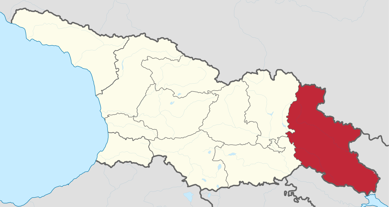
Fitxategi:Kakheti in Georgia (Georgian view).svg

SVG fitxategi honen PNG aurreikuspenaren tamaina: 800 × 426 pixel. Bestelako bereizmenak: 320 × 170 pixel | 640 × 341 pixel | 1.024 × 545 pixel | 1.280 × 681 pixel | 2.560 × 1.363 pixel | 1.715 × 913 pixel.
Bereizmen handikoa (SVG fitxategia, nominaldi 1.715 × 913 pixel, fitxategiaren tamaina: 552 KB)
Fitxategi hau Wikimedia Commonsekoa da. Hango deskribapen orriko informazioa behean duzu. |
Laburpena
.svg)
.svg)
.svg)
.svg)
.svg)
.svg)
.svg)

-en.svg)

.svg)
.svg)
.svg)

_(US48).svg)
_(small_islands_magnified)_(-mini_map_-rivers).svg)
.svg)
_(extra_close)_(US48).svg)
.svg)
_(zoom).svg)

.svg)


_(UNMIK).svg)
.svg)
_(disputed_hatched).svg)
_(claimed_and_disputed_hatched).svg)
.svg)
.svg)
_(%2Ball_claims_hatched).svg)

.svg)
_(shade).svg)
_(shade)_(special_marker).svg)
_(-mini_map).svg)
_(-mini_map).svg)
_(-mini_map).svg)


.svg)

.svg)
.svg)
Lizentzia
Nik, lan honen egileak, argitaratzen dut ondorengo lizentzia pean:
Fitxategi hau Creative Commons Attribution-Share Alike 3.0 Unported lizentziapean dago.
- Askea zara:
- partekatzeko – lana kopiatzeko, banatzeko eta bidaltzeko
- birnahasteko – lana moldatzeko
- Ondorengo baldintzen pean:
- eskuduntza – Egiletza behar bezala aitortu behar duzu, lizentzia ikusteko esteka gehitu, eta ea aldaketak egin diren aipatu. Era egokian egin behar duzu hori guztia, baina inola ere ez egileak zure lana edo zure erabilera babesten duela irudikatuz.
- berdin partekatu – Lan honetan oinarrituta edo aldatuta berria eraikitzen baduzu, emaitza lana hau bezalako lizentzia batekin argitaratu behar duzu.

|
I'd greatly appreciate, that you attribute this media file to Wikimedia Commons, if used outside Wikipedia or Commons. For use in publications such as books, newspapers, blogs, websites, please insert here the following line:
|
.svg&action=edit&redlink=1)
Fitxategiaren historia
Data/orduan klik egin fitxategiak orduan zuen itxura ikusteko.
| Data/Ordua | Iruditxoa | Neurriak | Erabiltzailea | Iruzkina | |
|---|---|---|---|---|---|
| oraingoa | 13:18, 12 urria 2020 | | 1.715 × 913 (552 KB) | TUBS | Reverted to version as of 07:05, 7 October 2020 (UTC) We have discussed that (cf. my user talk page): I don't have enough evidence that your map is correct (maybe it is though). Don't start an edit war: Please reupload your maps with a different name and try to exchange my maps with your maps in the respective WP articles. That's better anyway so that editors in their respective WP don't fell bypassed. |
| 19:48, 11 urria 2020 |  | 1.715 × 913 (373 KB) | გიო ოქრო | Reverted to version as of 20:35, 6 October 2020 (UTC) | |
| 09:05, 7 urria 2020 |  | 1.715 × 913 (552 KB) | TUBS | that's the georgian view. Georgia certainly doesn't acknowledge the borders of split-off rgegions, does it? | |
| 22:35, 6 urria 2020 |  | 1.715 × 913 (373 KB) | გიო ოქრო | borders changed | |
| 12:32, 7 abuztua 2011 |  | 1.715 × 913 (552 KB) | TUBS |
Irudira dakarten loturak
Hurrengo orrialdeek dute fitxategi honetarako lotura:
Fitxategiaren erabilera orokorra
Hurrengo beste wikiek fitxategi hau darabilte:
- av.wikipedia.org proiektuan duen erabilera
- bg.wikipedia.org proiektuan duen erabilera
- ceb.wikipedia.org proiektuan duen erabilera
- de.wikipedia.org proiektuan duen erabilera
- de.wikivoyage.org proiektuan duen erabilera
- en.wikipedia.org proiektuan duen erabilera
- et.wikipedia.org proiektuan duen erabilera
- fa.wikipedia.org proiektuan duen erabilera
- frr.wikipedia.org proiektuan duen erabilera
- he.wikipedia.org proiektuan duen erabilera
- hr.wikipedia.org proiektuan duen erabilera
- hy.wikipedia.org proiektuan duen erabilera
- id.wikipedia.org proiektuan duen erabilera
- incubator.wikimedia.org proiektuan duen erabilera
- ja.wikipedia.org proiektuan duen erabilera
- lt.wikipedia.org proiektuan duen erabilera
- lv.wikipedia.org proiektuan duen erabilera
- ml.wikipedia.org proiektuan duen erabilera
- nn.wikipedia.org proiektuan duen erabilera
- no.wikipedia.org proiektuan duen erabilera
- sco.wikipedia.org proiektuan duen erabilera
- simple.wikipedia.org proiektuan duen erabilera
- sl.wikipedia.org proiektuan duen erabilera
- sr.wikipedia.org proiektuan duen erabilera
- ur.wikipedia.org proiektuan duen erabilera
- vi.wikipedia.org proiektuan duen erabilera
- zh.wikipedia.org proiektuan duen erabilera
.svg)