
Fitxategi:Map of USA.png
Aurreikuspen honen neurria: 800 × 525 pixel. Bestelako bereizmenak: 320 × 210 pixel | 640 × 420 pixel | 904 × 593 pixel.
Bereizmen handikoa ((904 × 593 pixel, fitxategiaren tamaina: 24 KB, MIME mota: image/png))
Fitxategi hau Wikimedia Commonsekoa da. Hango deskribapen orriko informazioa behean duzu. |
Laburpena
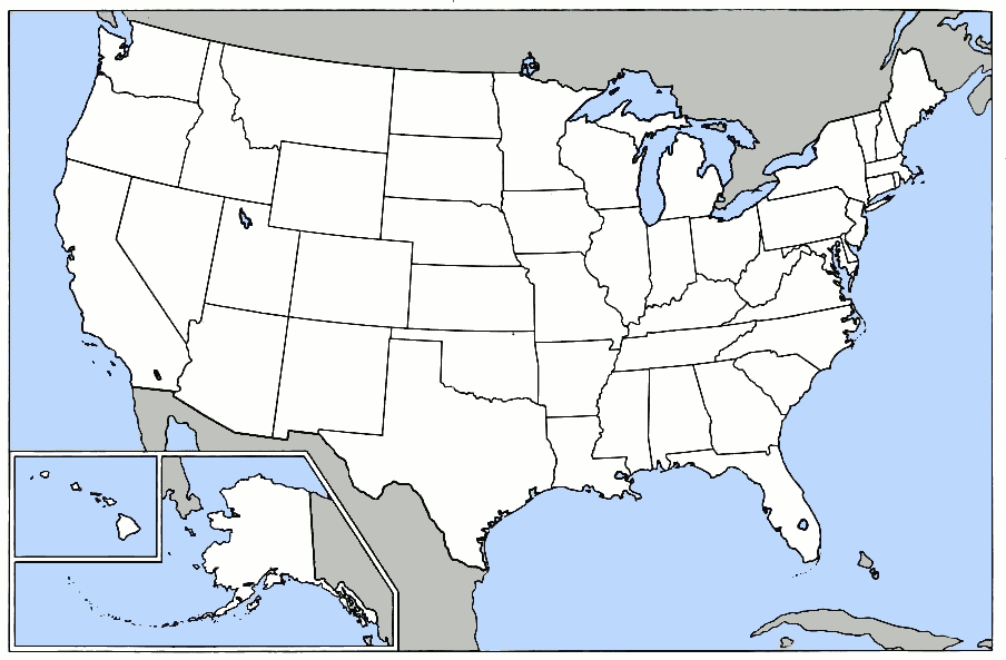
United States blank state outline map. This is the blank version of the map used for U.S. states and national park locations, etc., in Wikipedia. [1]
![[1]](https://en.wikipedia.org/wiki/Image:Map_of_USA.png)
Lizentzia

|
Baimena duzu dokumentu hau kopiatu, banatu edo/eta aldatzeko GNU Free Documentation License baldintzapean, Free Software Foundationek argitaratutako 1.2 edo ondorengo bertsioan; sekzio aldaezinik gabe, azaleko testurik gabe, eta atzeko azaleko testurik gabe. Lizentziaren kopia dago GNU Free Documentation License izenburudun atalean. |
| Fitxategi hau Creative Commons Attribution-Share Alike 3.0 Unported lizentziapean dago. | ||
| ||
| This licensing tag was added to this file as part of the GFDL licensing update. |

|
File:StatesU.svg fitxategi honen bektore bertsioa da. Hau rasterizatutako bertsioaren ordez erabili beharko litzateke hobea izatekotan.
File:Map of USA.png → File:StatesU.svg
Grafiko bektorialei buruzko informazioa lortzeko, irakurri SVGra trantsizioa Commonsen. MediaWikiko SVG irudien inguruko laguntza teknikoa ere badago. |
 |
Fitxategiaren historia
Data/orduan klik egin fitxategiak orduan zuen itxura ikusteko.
| Data/Ordua | Iruditxoa | Neurriak | Erabiltzailea | Iruzkina | |
|---|---|---|---|---|---|
| oraingoa | 19:41, 14 martxoa 2012 | | 904 × 593 (24 KB) | Smileguy91 | Reverted to version as of 03:32, 12 May 2006 |
| 18:07, 5 martxoa 2008 |  | 904 × 593 (24 KB) | Briangotts | Reverted to version as of 00:22, 16 February 2008 | |
| 18:07, 5 martxoa 2008 |  | 904 × 593 (52 KB) | Briangotts | {{Information |Description=Map of the w:United States, showing areas covered by each of the state compilation w:law reports published by w:Thomson West. :*Purple: w:North Eastern Reporter :*Orange: w:Atlantic Reporter :*Yellow: [[w:Nor | |
| 02:22, 16 otsaila 2008 |  | 904 × 593 (24 KB) | Brianski | Clean up some artifacts, especially around black lines, and gray in the ocean. | |
| 05:32, 12 maiatza 2006 |  | 904 × 593 (24 KB) | Roke~commonswiki | United States blank state outline map. This is the blank version of the map used for U.S. states and national park locations, etc., in Wikipedia. [http://en.wikipedia.org/wiki/Image:Map_of_USA.png] Category: Blank maps of the United States |
Irudira dakarten loturak
Ez dago fitxategi hau darabilen orririk.
Fitxategiaren erabilera orokorra
Hurrengo beste wikiek fitxategi hau darabilte:
- bpy.wikipedia.org proiektuan duen erabilera
- মডেল:তিলপারাষ্ট্র-লইনাসে
- কুইন্স কাউন্টি, নিউ ইয়র্ক
- আউটোগা কাউন্টি, আলাবামা
- চেরোকি কাউন্টি, আলাবামা
- গ্রীনলী কাউন্টি, অ্যারিজোনা
- লা পাজ কাউন্টি, অ্যারিজোনা
- মারিকোপা কাউন্টি, অ্যারিজোনা
- মোহাবে কাউন্টি, অ্যারিজোনা
- নাবাজো কাউন্টি, অ্যারিজোনা
- প্রিমা কাউন্টি, অ্যারিজোনা
- পিনাল কাউন্টি, অ্যারিজোনা
- সান্তা ক্রোজ কাউন্টি, অ্যারিজোনা
- ইয়াবাপাই কাউন্টি, অ্যারিজোনা
- য়ুমা কাউন্টি, অ্যারিজোনা
- চিলটন কাউন্টি, আলাবামা
- আরকান্সাস কাউন্টি, আরকান্সাস
- এশলি কাউন্টি, আরকান্সাস
- বক্সটের কাউন্টি, আরকান্সাস
- বেনটন কাউন্টি, আরকান্সাস
- বোনে কাউন্টি, আরকান্সাস
- ব্রাডলি কাউন্টি, আরকান্সাস
- কালহৌন কাউন্টি, আরকান্সাস
- কেরোল কাউন্টি, আরকান্সাস
- চিকোট কাউন্টি, আরকান্সাস
- ক্লার্ক কাউন্টি, আরকান্সাস
- চোকটাউ কাউন্টি, আলাবামা
- ক্লে কাউন্টি, আরকান্সাস
- ক্লেবোর্ন কাউন্টি, আরকান্সাস
- ক্লিবল্যন্ড কাউন্টি, আরকান্সাস
- কলম্বিয়া কাউন্টি, আরকান্সাস
- কনৱে কাউন্টি, আরকান্সাস
- ক্রেইগহেড কাউন্টি, আরকান্সাস
- ক্রফোর্ড কাউন্টি, আরকান্সাস
- ক্রিটেনডেন কাউন্টি, আরকান্সাস
- ক্রশ কাউন্টি, আরকান্সাস
- ডাল্লাস কাউন্টি, আরকান্সাস
- ক্লার্কে কাউন্টি, আলাবামা
- ডেসা কাউন্টি, আরকান্সাস
- ড্রিউ কাউন্টি, আরকান্সাস
- ফ্লাকনার কাউন্টি, আরকান্সাস
- ফ্রাঙ্কলিন কাউন্টি, আরকান্সাস
- ফুলটন কাউন্টি, আরকান্সাস
- গারল্যন্ড কাউন্টি, আরকান্সাস
- গ্রান্ট কাউন্টি, আরকান্সাস
- গ্রীন কাউন্টি, আরকান্সাস
- হেমস্টেড কাউন্টি, আরকান্সাস
- হট স্প্রিং কাউন্টি, আরকান্সাস
- ক্লে কাউন্টি, আলাবামা
- হাৱার্ড কাউন্টি, আরকান্সাস
- ইন্ডিপেনডেন্স কাউন্টি, আরকান্সাস
Ikus fitxategi honen erabilpen global gehiago.