
Fitxategi:Y Fali - geograph.org.uk - 38773.jpg
Ez dago bereizmen handiagorik.
Y_Fali_-_geograph.org.uk_-_38773.jpg ((640 × 480 pixel, fitxategiaren tamaina: 63 KB, MIME mota: image/jpeg))
Fitxategi hau Wikimedia Commonsekoa da. Hango deskribapen orriko informazioa behean duzu. |
Laburpena
| Deskribapena |
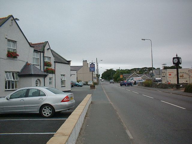
English: Y Fali. This image shows the A5 running through Y Fali (Valley) towards Holyhead. The lights at the junction of the A5 and the A5025 were behind me when I took this picture. The A5 used to be the main route onto Holyead and the ferry until the A55T was opened. |
| Data | |
| Jatorria | From geograph.org.uk |
| Egilea | Dave Smethurst |
| Aitortu (required by the license) | Dave Smethurst / Y Fali / |
| Objektuaren kokapena | | Irudi hau eta gehiago beraien kokapenekin hurrengo lekuetan: OpenStreetMap |
|---|
_&language=eu)
Lizentzia

|
This image was taken from the Geograph project collection. See this photograph's page on the Geograph website for the photographer's contact details. The copyright on this image is owned by Dave Smethurst and is licensed for reuse under the Creative Commons Attribution-ShareAlike 2.0 license.
|
This file is licensed under the Creative Commons Attribution-Share Alike 2.0 Generic license.
Aitortu: Dave Smethurst
- Askea zara:
- partekatzeko – lana kopiatzeko, banatzeko eta bidaltzeko
- birnahasteko – lana moldatzeko
- Ondorengo baldintzen pean:
- eskuduntza – Egiletza behar bezala aitortu behar duzu, lizentzia ikusteko esteka gehitu, eta ea aldaketak egin diren aipatu. Era egokian egin behar duzu hori guztia, baina inola ere ez egileak zure lana edo zure erabilera babesten duela irudikatuz.
- berdin partekatu – Lan honetan oinarrituta edo aldatuta berria eraikitzen baduzu, emaitza lana hau bezalako lizentzia batekin argitaratu behar duzu.
Fitxategiaren historia
Data/orduan klik egin fitxategiak orduan zuen itxura ikusteko.
| Data/Ordua | Iruditxoa | Neurriak | Erabiltzailea | Iruzkina | |
|---|---|---|---|---|---|
| oraingoa | 21:07, 30 urtarrila 2010 | | 640 × 480 (63 KB) | GeographBot | == {{int:filedesc}} == {{Information |description={{en|1=Y Fali. This image shows the A5 running through Y Fali (Valley) towards Holyhead. The lights at the junction of the A5 and the A5025 were behind me when I took this picture. The A5 used to be the ma |
Irudira dakarten loturak
Hurrengo orrialdeek dute fitxategi honetarako lotura:
Fitxategiaren erabilera orokorra
Hurrengo beste wikiek fitxategi hau darabilte:
- ca.wikipedia.org proiektuan duen erabilera
- en.wikipedia.org proiektuan duen erabilera