
Fitxategi:Bride baymap1946.jpg

Aurreikuspen honen neurria: 800 × 597 pixel. Bestelako bereizmenak: 320 × 239 pixel | 640 × 478 pixel | 1.024 × 764 pixel | 1.280 × 955 pixel | 2.581 × 1.926 pixel.
Bereizmen handikoa ((2.581 × 1.926 pixel, fitxategiaren tamaina: 559 KB, MIME mota: image/jpeg))
Fitxategi hau Wikimedia Commonsekoa da. Hango deskribapen orriko informazioa behean duzu. |
Laburpena
| Deskribapena |
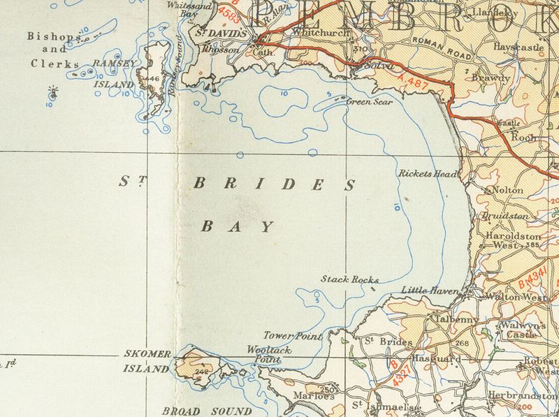
English: Old OS map from 1946 of Bride's_bay 1/4 inch to the mile |
| Data | 2007ko urtarrilaren 15a (Jatorrizko igoera-data) |
| Jatorria | Transferred from en.wikipedia to Commons. |
| Egilea | The original uploader was Geni at ingelesa Wikipedia. |
Lizentzia
This work is an Ordnance Survey map over 50 years old, which is covered by Crown Copyright which in this case expires 50 years after publication. Ordnance Survey does however ask that they be credited and that the date of publication be given.
Any ancillary rights gained through the creation of the electronic version are granted as freely usable under any circumstances.
|
This work created by the United Kingdom Government is in the public domain.
This is because it is one of the following:
HMSO has declared that the expiry of Crown Copyrights applies worldwide (ref: HMSO Email Reply)
|
 |
Jatorrizko igoera erregistroa
The original description page was here. All following user names refer to en.wikipedia.
- 2007-01-15 18:42 Geni 2581×1926×8 (572027 bytes) Old OS map from 1946 of Bride's_bay 1/4 inch to the mile {{oldOS}}
Fitxategiaren historia
Data/orduan klik egin fitxategiak orduan zuen itxura ikusteko.
| Data/Ordua | Iruditxoa | Neurriak | Erabiltzailea | Iruzkina | |
|---|---|---|---|---|---|
| oraingoa | 20:09, 19 azaroa 2007 | | 2.581 × 1.926 (559 KB) | Jordi Roqué | {{Information |Description={{en|Old OS map from 1946 of Bride's_bay 1/4 inch to the mile en:Category:Images of Pembrokeshire}} |Source=Originally from [http://en.wikipedia.org en.wikipedia]; description page is/was [http://en.wikipedia.org/w/index. |
Irudira dakarten loturak
Hurrengo orrialdeek dute fitxategi honetarako lotura:
Fitxategiaren erabilera orokorra
Hurrengo beste wikiek fitxategi hau darabilte:
- ca.wikipedia.org proiektuan duen erabilera
- en.wikipedia.org proiektuan duen erabilera
- nn.wikipedia.org proiektuan duen erabilera
- www.wikidata.org proiektuan duen erabilera