
Fitxategi:Detailed map of Wakefield-Peacedale, Rhode Island.png
Ez dago bereizmen handiagorik.
Detailed_map_of_Wakefield-Peacedale,_Rhode_Island.png ((575 × 425 pixel, fitxategiaren tamaina: 51 KB, MIME mota: image/png))
Fitxategi hau Wikimedia Commonsekoa da. Hango deskribapen orriko informazioa behean duzu. |
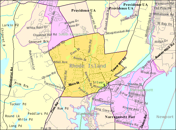
| Deskribapena | Map of Wakefield-Peacedale, a census-designated place in the town of South Kingstown in Washington County, Rhode Island, United States, with its boundaries at the time of the 2000 census. | |||
| Data | Data ezezaguna; downloaded by me on 29 December 2008 | |||
| Jatorria | http://factfinder.census.gov/leg1/44/123071444.gif, from http://factfinder.census.gov | |||
| Egilea | United States Census Bureau | |||
| Lizentzia (Fitxategi hau berrerabiltzen) |
|

Fitxategiaren historia
Data/orduan klik egin fitxategiak orduan zuen itxura ikusteko.
| Data/Ordua | Iruditxoa | Neurriak | Erabiltzailea | Iruzkina | |
|---|---|---|---|---|---|
| oraingoa | 16:46, 29 abendua 2008 | | 575 × 425 (51 KB) | Nyttend | {{Information |Description=Map of {{w|Wakefield-Peacedale, Rhode Island|Wakefield-Peacedale}}, a {{w|census-designated place}} in the town of {{w|South Kingstown, Rhode Island|South Kingstown}} in {{w|Washington County, Rhode Island|Washington County}}, { |
Irudira dakarten loturak
Hurrengo orrialdeek dute fitxategi honetarako lotura:
Fitxategiaren erabilera orokorra
Hurrengo beste wikiek fitxategi hau darabilte:
- ca.wikipedia.org proiektuan duen erabilera
- ceb.wikipedia.org proiektuan duen erabilera
- en.wikipedia.org proiektuan duen erabilera
- es.wikipedia.org proiektuan duen erabilera
- fa.wikipedia.org proiektuan duen erabilera
- sh.wikipedia.org proiektuan duen erabilera
- sr.wikipedia.org proiektuan duen erabilera
- tt.wikipedia.org proiektuan duen erabilera
- www.wikidata.org proiektuan duen erabilera