
Fitxategi:Kingskettle - geograph.org.uk - 125597.jpg
Ez dago bereizmen handiagorik.
Kingskettle_-_geograph.org.uk_-_125597.jpg ((640 × 480 pixel, fitxategiaren tamaina: 103 KB, MIME mota: image/jpeg))
Fitxategi hau Wikimedia Commonsekoa da. Hango deskribapen orriko informazioa behean duzu. |
Laburpena
| Deskribapena |
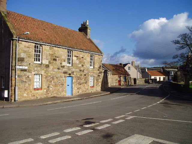
English: Kingskettle. An attractive village in Fife locally known as Kettle which developed in an area which once belonged to the Crown and where an unrecorded battle or Cathel took place, this is how the name Kingskettle came about. The village developed in the 19th century with the opening of the turnpike road and with the development of mining and weaving. |
| Data | |
| Jatorria | From geograph.org.uk |
| Egilea | Kevin Rae |
| Aitortu (required by the license) | Kevin Rae / Kingskettle / |
| Kameraren kokapena | | Irudi hau eta gehiago beraien kokapenekin hurrengo lekuetan: OpenStreetMap |
|---|
_&language=eu)
| Objektuaren kokapena | | Irudi hau eta gehiago beraien kokapenekin hurrengo lekuetan: OpenStreetMap |
|---|
_&language=eu)
Lizentzia

|
This image was taken from the Geograph project collection. See this photograph's page on the Geograph website for the photographer's contact details. The copyright on this image is owned by Kevin Rae and is licensed for reuse under the Creative Commons Attribution-ShareAlike 2.0 license.
|
This file is licensed under the Creative Commons Attribution-Share Alike 2.0 Generic license.
Aitortu: Kevin Rae
- Askea zara:
- partekatzeko – lana kopiatzeko, banatzeko eta bidaltzeko
- birnahasteko – lana moldatzeko
- Ondorengo baldintzen pean:
- eskuduntza – Egiletza behar bezala aitortu behar duzu, lizentzia ikusteko esteka gehitu, eta ea aldaketak egin diren aipatu. Era egokian egin behar duzu hori guztia, baina inola ere ez egileak zure lana edo zure erabilera babesten duela irudikatuz.
- berdin partekatu – Lan honetan oinarrituta edo aldatuta berria eraikitzen baduzu, emaitza lana hau bezalako lizentzia batekin argitaratu behar duzu.
Fitxategiaren historia
Data/orduan klik egin fitxategiak orduan zuen itxura ikusteko.
| Data/Ordua | Iruditxoa | Neurriak | Erabiltzailea | Iruzkina | |
|---|---|---|---|---|---|
| oraingoa | 05:30, 31 urtarrila 2010 | | 640 × 480 (103 KB) | GeographBot | == {{int:filedesc}} == {{Information |description={{en|1=Kingskettle. An attractive village in Fife locally known as Kettle which developed in an area which once belonged to the Crown and where an unrecorded battle or Cathel took place, this is how the na |
Irudira dakarten loturak
Hurrengo orrialdeek dute fitxategi honetarako lotura:
Fitxategiaren erabilera orokorra
Hurrengo beste wikiek fitxategi hau darabilte:
- ceb.wikipedia.org proiektuan duen erabilera
- cy.wikipedia.org proiektuan duen erabilera
- es.wikipedia.org proiektuan duen erabilera
- it.wikipedia.org proiektuan duen erabilera
- sv.wikipedia.org proiektuan duen erabilera
- www.wikidata.org proiektuan duen erabilera