
Fitxategi:Lebanon adm location map.svg

Bereizmen handikoa (SVG fitxategia, nominaldi 992 × 1.141 pixel, fitxategiaren tamaina: 133 KB)
Fitxategi hau Wikimedia Commonsekoa da. Hango deskribapen orriko informazioa behean duzu. |
Laburpena
| Deskribapena |
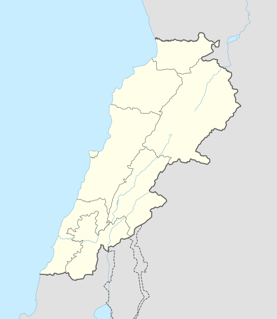
Deutsch: Positionskarte von Libanon
English: Location map of Lebanon
|
||||||||||||
| Data | |||||||||||||
| Jatorria |
Own work using:
|
||||||||||||
| Egilea | NordNordWest | ||||||||||||
| SVG genesis | Fitxategi hau (bektore-irudia) hau Adobe Illustrator-ekin sortu da .
|
||||||||||||

Lizentzia
Usage of this file with:

explanatory notes: Legally binding is only the full legalcode. For a free usage I recommend to respect the following licence conditions:
1. Provide my name as given above: NordNordWest,
2. a copy of, or the URI for, the applicable license: https://creativecommons.org/licenses/by-sa/3.0/de/legalcode,
3. the title of the work,
4. in the case of an adaptation, a credit identifying the use of the work in the adaptation.
This license and the rights granted hereunder will terminate automatically upon any breach by you of the terms of this license. Any of the above conditions can be waived if you get permission from the copyright holder. If you have questions or wish differing conditions, please contact me through nnwest or my discussion page ![]() t-online.de
t-online.de
- Askea zara:
- partekatzeko – lana kopiatzeko, banatzeko eta bidaltzeko
- birnahasteko – lana moldatzeko
- Ondorengo baldintzen pean:
- eskuduntza – Egiletza behar bezala aitortu behar duzu, lizentzia ikusteko esteka gehitu, eta ea aldaketak egin diren aipatu. Era egokian egin behar duzu hori guztia, baina inola ere ez egileak zure lana edo zure erabilera babesten duela irudikatuz.
- berdin partekatu – Lan honetan oinarrituta edo aldatuta berria eraikitzen baduzu, emaitza lana hau bezalako lizentzia batekin argitaratu behar duzu.

Fitxategiaren historia
Data/orduan klik egin fitxategiak orduan zuen itxura ikusteko.
| Data/Ordua | Iruditxoa | Neurriak | Erabiltzailea | Iruzkina | |
|---|---|---|---|---|---|
| oraingoa | 16:29, 20 iraila 2016 | | 992 × 1.141 (133 KB) | NordNordWest | corr |
| 10:37, 5 abuztua 2016 |  | 992 × 1.141 (134 KB) | NordNordWest | corr | |
| 18:54, 1 otsaila 2015 |  | 992 × 1.141 (133 KB) | NordNordWest | == {{int:filedesc}} == {{Information |Description= {{de|1=Positionskarte von Libanon}} {{en|1=Location map of Lebanon}} {{Location map series N |stretching=115 |top=34.9 |bottom=32.8 |left=34.8 |right=36.9 }} |Source={{Own using}} * United States Natio... |
Irudira dakarten loturak
Fitxategiaren erabilera orokorra
Hurrengo beste wikiek fitxategi hau darabilte:
- ar.wikipedia.org proiektuan duen erabilera
- بعلبك
- الحر العاملي
- حبشيت
- الزواريب
- حلبا
- الشيخ محمد
- حاصبيا
- فنار (جبل لبنان)
- مقنة
- قصر الهرمل
- الدوري اللبناني الممتاز
- عصر الرعاة الحجري الحديث
- وحدة:Location map/data/Lebanon
- وحدة:Location map/data/Lebanon/شرح
- قالب:خريطة مفصلة للتمرد اللبناني
- الدوري اللبناني الممتاز 2017–18
- اشتباكات شمال لبنان (2014)
- الدوري اللبناني الممتاز 2018–19
- الدوري اللبناني الدرجة الثانية 2018–19
- قلعة البسترة
- الدوري اللبناني الممتاز 2016–17
- الدوري اللبناني الممتاز 2008–09
- الدوري اللبناني الممتاز 2010–11
- الدوري اللبناني الممتاز 2011–12
- الدوري اللبناني الممتاز 2015–16
- حادثة إطلاق النار في طرابلس 2019
- معركة صيدا (1991)
- بقعاتا (منطقة)
- معركة طرابلس (1983)
- الدوري اللبناني الدرجة الثانية 2020–21
- الدوري اللبناني الدرجة الثانية 2021–22
- الدوري اللبناني الممتاز 2023–24
- الدورة (لبنان)
- arz.wikipedia.org proiektuan duen erabilera
- ast.wikipedia.org proiektuan duen erabilera
Ikus fitxategi honen erabilpen global gehiago.