
Fitxategi:Taiwan location map.svg

SVG fitxategi honen PNG aurreikuspenaren tamaina: 499 × 600 pixel. Bestelako bereizmenak: 200 × 240 pixel | 399 × 480 pixel | 639 × 768 pixel | 852 × 1.024 pixel | 1.704 × 2.048 pixel | 1.016 × 1.221 pixel.
Bereizmen handikoa (SVG fitxategia, nominaldi 1.016 × 1.221 pixel, fitxategiaren tamaina: 121 KB)
Fitxategi hau Wikimedia Commonsekoa da. Hango deskribapen orriko informazioa behean duzu. |

|
This file requires updating. In doing so, you could add a timestamp to the file.
|

|
The boundaries on this map show the de facto situation. This is just one of several different views on the subject (see COM:NPOV). |
Laburpena
| Deskribapena |
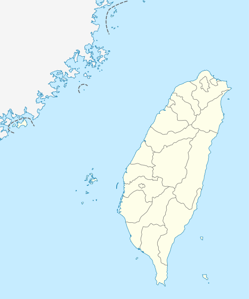
Quadratische Plattkarte, N-S-Streckung 110 %. Geographische Begrenzung der Karte:
Equirectangular projection, N/S stretching 110 %. Geographic limits of the map:
|
| Data | |
| Jatorria | own work, using United States National Imagery and Mapping Agency data |
| Egilea | NordNordWest |

|
This map has been made or improved in the German Kartenwerkstatt (Map Lab). You can propose maps to improve as well.
|
Lizentzia
Nik, lan honen egileak, argitaratzen dut ondorengo lizentzia hauen pean:

|
Baimena duzu dokumentu hau kopiatu, banatu edo/eta aldatzeko GNU Free Documentation License baldintzapean, Free Software Foundationek argitaratutako 1.2 edo ondorengo bertsioan; sekzio aldaezinik gabe, azaleko testurik gabe, eta atzeko azaleko testurik gabe. Lizentziaren kopia dago GNU Free Documentation License izenburudun atalean. |
Fitxategi hau Creative Commons Attribution-Share Alike 3.0 Unported lizentziapean dago.
- Askea zara:
- partekatzeko – lana kopiatzeko, banatzeko eta bidaltzeko
- birnahasteko – lana moldatzeko
- Ondorengo baldintzen pean:
- eskuduntza – Egiletza behar bezala aitortu behar duzu, lizentzia ikusteko esteka gehitu, eta ea aldaketak egin diren aipatu. Era egokian egin behar duzu hori guztia, baina inola ere ez egileak zure lana edo zure erabilera babesten duela irudikatuz.
- berdin partekatu – Lan honetan oinarrituta edo aldatuta berria eraikitzen baduzu, emaitza lana hau bezalako lizentzia batekin argitaratu behar duzu.
Nahiago duzun lizentzia erabil dezakezu.
Fitxategiaren historia
Data/orduan klik egin fitxategiak orduan zuen itxura ikusteko.
| Data/Ordua | Iruditxoa | Neurriak | Erabiltzailea | Iruzkina | |
|---|---|---|---|---|---|
| oraingoa | 13:15, 22 abuztua 2011 | | 1.016 × 1.221 (121 KB) | NordNordWest | minor corrections |
| 13:54, 19 uztaila 2011 |  | 1.016 × 1.222 (166 KB) | Bencmq | Reverted to the version before dispute | |
| 11:46, 19 uztaila 2011 |  | 1.016 × 1.222 (156 KB) | JOSH tw | You did not answer my query. If you would like to use this file on global website of wiki commons, you have to consider different concepts in order to keep it neutral | |
| 09:24, 19 uztaila 2011 |  | 1.016 × 1.221 (121 KB) | NordNordWest | You can upload a new file if you want to, but don't change the status that is shown here. Next revert -> COM:V | |
| 06:20, 19 uztaila 2011 |  | 1.016 × 1.222 (156 KB) | JOSH tw | If Kosovo as an UN unreconignized state can be shown on distinct appearance with Serbia, there is unreasonable to treat each other differently... especially P.R.China has never ruled Taiwan at any period of history | |
| 23:59, 18 uztaila 2011 |  | 1.016 × 1.221 (121 KB) | NordNordWest | please don't change the political status shown in this map | |
| 22:23, 18 uztaila 2011 |  | 1.016 × 1.222 (156 KB) | JOSH tw | Fixed map, political divisions have changed | |
| 18:54, 3 ekaina 2011 |  | 1.016 × 1.221 (127 KB) | NordNordWest | please don't change the political status shown in this map | |
| 15:19, 3 ekaina 2011 |  | 1.016 × 1.222 (156 KB) | Energiya | Fix the border of Matsu(Dongyin) and Kinmen (Dadan, Erdan, Wuqiu) see the page of Matsu Island and Kinmen. | |
| 19:19, 28 abendua 2010 |  | 1.016 × 1.222 (166 KB) | NordNordWest | wrong upd |
Irudira dakarten loturak
Hurrengo orrialdeek dute fitxategi honetarako lotura:
Fitxategiaren erabilera orokorra
Hurrengo beste wikiek fitxategi hau darabilte:
- af.wikipedia.org proiektuan duen erabilera
- an.wikipedia.org proiektuan duen erabilera
- ar.wikipedia.org proiektuan duen erabilera
- ast.wikipedia.org proiektuan duen erabilera
- Taiwán
- Taipei 101
- Taipéi
- Nuevu Taipéi
- Keelung
- Taoyuan
- Taichung
- Muséu Nacional del Palaciu
- Islles Pescadores
- Módulu:Mapa de llocalización/datos/República de China
- Módulu:Mapa de llocalización/datos/Taiwán
- Módulu:Mapa de llocalización/datos/República de China/usu
- Aeropuertu Internacional de Taiwán Taoyuan
- Puertu de Kaohsiung
- Puertu de Taipéi
- az.wikipedia.org proiektuan duen erabilera
- ba.wikipedia.org proiektuan duen erabilera
- bcl.wikipedia.org proiektuan duen erabilera
- be.wikipedia.org proiektuan duen erabilera
- bg.wikipedia.org proiektuan duen erabilera
- bn.wikipedia.org proiektuan duen erabilera
- bs.wikipedia.org proiektuan duen erabilera
- ceb.wikipedia.org proiektuan duen erabilera
Ikus fitxategi honen erabilpen global gehiago.