
Fitxategi:Maddiston - geograph.org.uk - 85330.jpg
Ez dago bereizmen handiagorik.
Maddiston_-_geograph.org.uk_-_85330.jpg ((640 × 480 pixel, fitxategiaren tamaina: 74 KB, MIME mota: image/jpeg))
Fitxategi hau Wikimedia Commonsekoa da. Hango deskribapen orriko informazioa behean duzu. |
Laburpena
| Deskribapena |
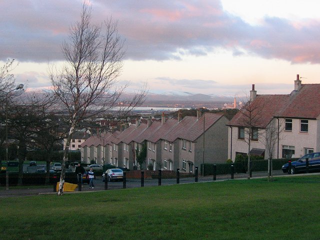
English: Maddiston. North and downhill view of housing in Maddiston, which has greatly expanded since the 1940s map. I took some heavy verbal abuse while taking this and it was pretty general - not photography related. I left quickly. |
| Data | |
| Jatorria | From geograph.org.uk |
| Egilea | Richard Webb |
| Aitortu (required by the license) | Richard Webb / Maddiston / |
| Kameraren kokapena | | Irudi hau eta gehiago beraien kokapenekin hurrengo lekuetan: OpenStreetMap |
|---|
_region:GB-SCT_heading:0.00&language=eu)
| Objektuaren kokapena | | Irudi hau eta gehiago beraien kokapenekin hurrengo lekuetan: OpenStreetMap |
|---|
_region:GB-SCT_heading:0.00&language=eu)
Lizentzia

|
This image was taken from the Geograph project collection. See this photograph's page on the Geograph website for the photographer's contact details. The copyright on this image is owned by Richard Webb and is licensed for reuse under the Creative Commons Attribution-ShareAlike 2.0 license.
|
This file is licensed under the Creative Commons Attribution-Share Alike 2.0 Generic license.
Aitortu: Richard Webb
- Askea zara:
- partekatzeko – lana kopiatzeko, banatzeko eta bidaltzeko
- birnahasteko – lana moldatzeko
- Ondorengo baldintzen pean:
- eskuduntza – Egiletza behar bezala aitortu behar duzu, lizentzia ikusteko esteka gehitu, eta ea aldaketak egin diren aipatu. Era egokian egin behar duzu hori guztia, baina inola ere ez egileak zure lana edo zure erabilera babesten duela irudikatuz.
- berdin partekatu – Lan honetan oinarrituta edo aldatuta berria eraikitzen baduzu, emaitza lana hau bezalako lizentzia batekin argitaratu behar duzu.
Fitxategiaren historia
Data/orduan klik egin fitxategiak orduan zuen itxura ikusteko.
| Data/Ordua | Iruditxoa | Neurriak | Erabiltzailea | Iruzkina | |
|---|---|---|---|---|---|
| oraingoa | 00:25, 31 urtarrila 2010 | | 640 × 480 (74 KB) | GeographBot | == {{int:filedesc}} == {{Information |description={{en|1=Maddiston. North and downhill view of housing in Maddiston, which has greatly expanded since the 1940s map. I took some heavy verbal abuse while taking this and it was pretty general - not photogra |
Irudira dakarten loturak
Hurrengo orrialdeek dute fitxategi honetarako lotura:
Fitxategiaren erabilera orokorra
Hurrengo beste wikiek fitxategi hau darabilte: