
Fitxategi:Mapa territorios España Canarias.svg

SVG fitxategi honen PNG aurreikuspenaren tamaina: 800 × 535 pixel. Bestelako bereizmenak: 320 × 214 pixel | 640 × 428 pixel | 1.024 × 685 pixel | 1.280 × 856 pixel | 2.560 × 1.712 pixel.
Bereizmen handikoa (SVG fitxategia, nominaldi 800 × 535 pixel, fitxategiaren tamaina: 996 KB)
Fitxategi hau Wikimedia Commonsekoa da. Hango deskribapen orriko informazioa behean duzu. |
Laburpena
| Deskribapena |
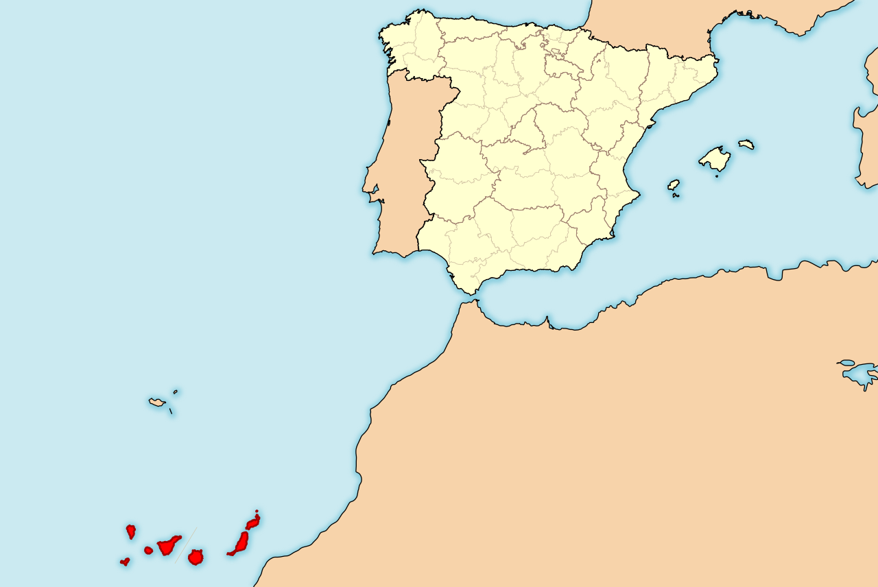
English: Map of Spain with Canary Islands highlighted. Español: Localización de Canarias respecto a España. |
| Data | |
| Jatorria | Norberak egina |
| Egilea | HansenBCN |
| Beste bertsioak | Derivative works of this file: Spain Canary Islands location map with Spain.png |
Lizentzia
Nik, lan honen egileak, argitaratzen dut ondorengo lizentzia hauen pean:

|
Baimena duzu dokumentu hau kopiatu, banatu edo/eta aldatzeko GNU Free Documentation License baldintzapean, Free Software Foundationek argitaratutako 1.2 edo ondorengo bertsioan; sekzio aldaezinik gabe, azaleko testurik gabe, eta atzeko azaleko testurik gabe. Lizentziaren kopia dago GNU Free Documentation License izenburudun atalean. |
This file is licensed under the Creative Commons Attribution-Share Alike Attribution-Share Alike 4.0 International, 3.0 Unported, 2.5 Generic, 2.0 Generic and 1.0 Generic license.
- Askea zara:
- partekatzeko – lana kopiatzeko, banatzeko eta bidaltzeko
- birnahasteko – lana moldatzeko
- Ondorengo baldintzen pean:
- eskuduntza – Egiletza behar bezala aitortu behar duzu, lizentzia ikusteko esteka gehitu, eta ea aldaketak egin diren aipatu. Era egokian egin behar duzu hori guztia, baina inola ere ez egileak zure lana edo zure erabilera babesten duela irudikatuz.
- berdin partekatu – Lan honetan oinarrituta edo aldatuta berria eraikitzen baduzu, emaitza lana hau bezalako lizentzia batekin argitaratu behar duzu.
Nahiago duzun lizentzia erabil dezakezu.
Fitxategiaren historia
Data/orduan klik egin fitxategiak orduan zuen itxura ikusteko.
| Data/Ordua | Iruditxoa | Neurriak | Erabiltzailea | Iruzkina | |
|---|---|---|---|---|---|
| oraingoa | 21:15, 1 iraila 2011 | | 800 × 535 (996 KB) | Ras67 | cropped |
| 17:35, 25 apirila 2008 |  | 975 × 653 (1,4 MB) | HansenBCN | +corrección | |
| 17:32, 25 apirila 2008 |  | 975 × 653 (1,4 MB) | HansenBCN | corrección del sombreado de costas | |
| 17:28, 25 apirila 2008 |  | 975 × 653 (1,4 MB) | HansenBCN | == Summary == {{Information |Description=Ejemplo de mapas de localización para España, ampliando la visión a las Islas Canarias. Los colores de esta versión se ajustan a otros mapas para Wikipedia, recomendados por el ''[[Wikipedia:WikiProject Maps|Wi |
Irudira dakarten loturak
Ez dago fitxategi hau darabilen orririk.
Fitxategiaren erabilera orokorra
Hurrengo beste wikiek fitxategi hau darabilte:
- als.wikipedia.org proiektuan duen erabilera
- ar.wikipedia.org proiektuan duen erabilera
- arz.wikipedia.org proiektuan duen erabilera
- ay.wikipedia.org proiektuan duen erabilera
- ce.wikipedia.org proiektuan duen erabilera
- da.wikipedia.org proiektuan duen erabilera
- de.wikibooks.org proiektuan duen erabilera
- dsb.wikipedia.org proiektuan duen erabilera
- en.wikipedia.org proiektuan duen erabilera
- en.wikinews.org proiektuan duen erabilera
- es.wikipedia.org proiektuan duen erabilera
- es.wikinews.org proiektuan duen erabilera
- fr.wikipedia.org proiektuan duen erabilera
- hi.wikipedia.org proiektuan duen erabilera
- hsb.wikipedia.org proiektuan duen erabilera
- id.wikipedia.org proiektuan duen erabilera
- ja.wikipedia.org proiektuan duen erabilera
- li.wikipedia.org proiektuan duen erabilera
- lv.wikipedia.org proiektuan duen erabilera
- nds-nl.wikipedia.org proiektuan duen erabilera
- nl.wikipedia.org proiektuan duen erabilera
- nl.wiktionary.org proiektuan duen erabilera
- pl.wiktionary.org proiektuan duen erabilera
- pnb.wikipedia.org proiektuan duen erabilera
- sco.wikipedia.org proiektuan duen erabilera
- sk.wikipedia.org proiektuan duen erabilera
- su.wikipedia.org proiektuan duen erabilera
- ta.wikipedia.org proiektuan duen erabilera
- tr.wikipedia.org proiektuan duen erabilera
- uk.wikipedia.org proiektuan duen erabilera
- ur.wikipedia.org proiektuan duen erabilera
- wa.wikipedia.org proiektuan duen erabilera
- yi.wikipedia.org proiektuan duen erabilera
- yo.wikipedia.org proiektuan duen erabilera
- zh-yue.wikipedia.org proiektuan duen erabilera