
Fitxategi:UEFA Euro 2012 en.svg

Bereizmen handikoa (SVG fitxategia, nominaldi 1.000 × 639 pixel, fitxategiaren tamaina: 178 KB)
Fitxategi hau Wikimedia Commonsekoa da. Hango deskribapen orriko informazioa behean duzu. |
Laburpena
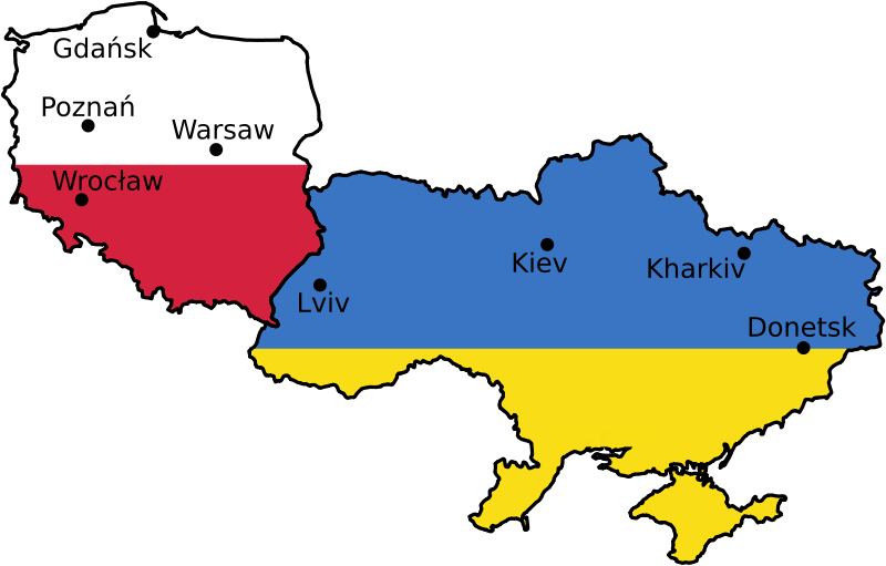
| Deskribapena | Euro 2012 venues, based on UN East Europe map. | |||||
| Data | 2004, April 2007 | |||||
| Jatorria | [1] | |||||
| Egilea | United Nations Cartographic Section, Alex Khristov. | |||||
| Lizentzia (Fitxategi hau berrerabiltzen) |
|
|||||
| Beste bertsioak |
[]
|


Fitxategiaren historia
Data/orduan klik egin fitxategiak orduan zuen itxura ikusteko.
| Data/Ordua | Iruditxoa | Neurriak | Erabiltzailea | Iruzkina | |
|---|---|---|---|---|---|
| oraingoa | 09:25, 11 urria 2009 | | 1.000 × 639 (178 KB) | Sliwers | Only cities that have been selected or may be selected. |
| 13:48, 22 apirila 2007 |  | 1.000 × 639 (218 KB) | Akhristov | Fonts to paths, plain SVG. | |
| 13:44, 22 apirila 2007 |  | 1.000 × 639 (153 KB) | Akhristov | {{Information| |Description=Euro 2012 venues, based on UN East Europe map. |Source=http://www.un.org/Depts/Cartographic/map/profile/easteuro.pdf |Date=2004, April 2007 |Author=United Nations Cartographic Section, Alex Khristov. |Permission={{UN map}}{{PD- |
Irudira dakarten loturak
Hurrengo orrialdeek dute fitxategi honetarako lotura:
Fitxategiaren erabilera orokorra
Hurrengo beste wikiek fitxategi hau darabilte:
- ast.wikipedia.org proiektuan duen erabilera
- az.wikipedia.org proiektuan duen erabilera
- bg.wikipedia.org proiektuan duen erabilera
- bs.wikipedia.org proiektuan duen erabilera
- ca.wikipedia.org proiektuan duen erabilera
- da.wikipedia.org proiektuan duen erabilera
- en.wikipedia.org proiektuan duen erabilera
- en.wikivoyage.org proiektuan duen erabilera
- et.wikipedia.org proiektuan duen erabilera
- fi.wikipedia.org proiektuan duen erabilera
- fr.wikinews.org proiektuan duen erabilera
- ga.wikipedia.org proiektuan duen erabilera
- gl.wikipedia.org proiektuan duen erabilera
- ko.wikipedia.org proiektuan duen erabilera
- lb.wikipedia.org proiektuan duen erabilera
- lt.wikipedia.org proiektuan duen erabilera
- mk.wikipedia.org proiektuan duen erabilera
- nl.wikipedia.org proiektuan duen erabilera
- nn.wikipedia.org proiektuan duen erabilera
- no.wikipedia.org proiektuan duen erabilera
- pap.wikipedia.org proiektuan duen erabilera
- pt.wikipedia.org proiektuan duen erabilera
- ru.wikipedia.org proiektuan duen erabilera
- ru.wikinews.org proiektuan duen erabilera
- sl.wikipedia.org proiektuan duen erabilera
- sq.wikinews.org proiektuan duen erabilera
- sr.wikipedia.org proiektuan duen erabilera
- vep.wikipedia.org proiektuan duen erabilera
- www.wikidata.org proiektuan duen erabilera
- zh.wikipedia.org proiektuan duen erabilera