
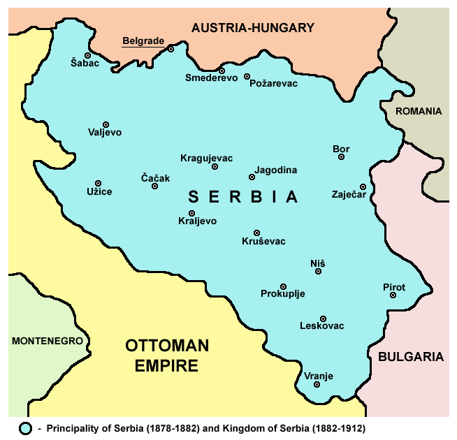
Fitxategi:Serbia1878.png
Bereizmen handikoa ((654 × 630 pixel, fitxategiaren tamaina: 42 KB, MIME mota: image/png))
Fitxategi hau Wikimedia Commonsekoa da. Hango deskribapen orriko informazioa behean duzu. |

|
Irudi hau birsortu beharko litzateke SVG irudi bektorial moduan. Honek abantaila asko ematen ditu, ikus Commons:Media for cleanup (ingelesez) informazio gehiagorako. Irudi honen SVG bertsioa eskuragarri badago, mesedez Commonsera igo. Igo ostean, ordezkatu txantiloi hau txantiloi honegatik {{vector version available|irudiaren izen berria.svg}} irudi honetan.
|
Laburpena
- English: Principality of Serbia (1878-1882) and Kingdom of Serbia (1882–1912).
- Srpskohrvatski / српскохрватски: Kneževina Srbija (1878-1882) i Kraljevina Srbija (1882-1912).
Source and licence
Self-made map by PANONIAN
| This work has been released into the public domain by its author, PANONIAN. This applies worldwide. Estatu batzuetan beharbada hori ez da legez posible izango. Halakoetan: |

|
This map has been uploaded by Electionworld from en.wikipedia.org to enable the |
References
- The Times History of Europe, Times Books, London, 2002.
- Denis Šehić - Demir Šehić, Istorijski atlas Sveta, Beograd, 2007.
- Istorijski atlas, Geokarta, Beograd, 1999.
- Školski istorijski atlas, Zavod za izdavanje udžbenika SR Srbije, Beograd, 1970.
- http://anamnesis.info/resources/Srbija1878-1913.jpg
- http://terkepek.adatbank.transindex.ro/kepek/netre/99.gif
derivative works
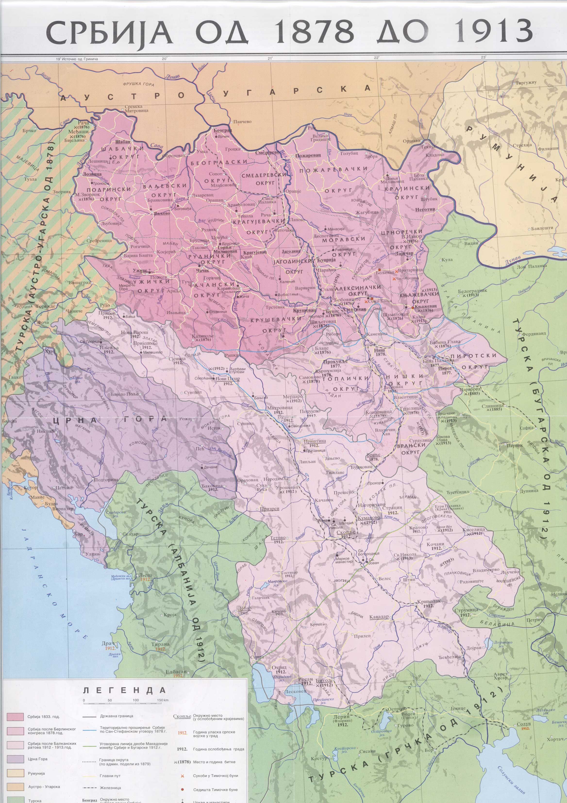
Derivative works of this file: Kingdom of Serbia 1882–1912.png
Fitxategiaren historia
Data/orduan klik egin fitxategiak orduan zuen itxura ikusteko.
| Data/Ordua | Iruditxoa | Neurriak | Erabiltzailea | Iruzkina | |
|---|---|---|---|---|---|
| oraingoa | 19:52, 10 urtarrila 2010 | | 654 × 630 (42 KB) | PANONIAN | improved version |
| 23:38, 21 abendua 2006 |  | 627 × 602 (13 KB) | Electionworld | {{ew|en|PANONIAN}} Self-made map by PANONIAN {{PD-user|PANONIAN}} Category:Maps of Serbia |
Irudira dakarten loturak
Hurrengo orrialdeek dute fitxategi honetarako lotura:
Fitxategiaren erabilera orokorra
Hurrengo beste wikiek fitxategi hau darabilte:
- ar.wikipedia.org proiektuan duen erabilera
- azb.wikipedia.org proiektuan duen erabilera
- az.wikipedia.org proiektuan duen erabilera
- ba.wikipedia.org proiektuan duen erabilera
- be-tarask.wikipedia.org proiektuan duen erabilera
- be.wikipedia.org proiektuan duen erabilera
- bg.wikipedia.org proiektuan duen erabilera
- ca.wikipedia.org proiektuan duen erabilera
- cs.wikipedia.org proiektuan duen erabilera
- el.wikipedia.org proiektuan duen erabilera
- en.wikipedia.org proiektuan duen erabilera
- es.wikipedia.org proiektuan duen erabilera
- et.wikipedia.org proiektuan duen erabilera
- fa.wikipedia.org proiektuan duen erabilera
- gl.wikipedia.org proiektuan duen erabilera
- id.wikipedia.org proiektuan duen erabilera
- it.wikipedia.org proiektuan duen erabilera
- ja.wikipedia.org proiektuan duen erabilera
- ms.wikipedia.org proiektuan duen erabilera
- nl.wikipedia.org proiektuan duen erabilera
- pl.wikipedia.org proiektuan duen erabilera
- pnb.wikipedia.org proiektuan duen erabilera
- pt.wikipedia.org proiektuan duen erabilera
- ro.wikipedia.org proiektuan duen erabilera
- ru.wikipedia.org proiektuan duen erabilera
- sh.wikipedia.org proiektuan duen erabilera
- sk.wikipedia.org proiektuan duen erabilera
- sl.wikipedia.org proiektuan duen erabilera
- sq.wikipedia.org proiektuan duen erabilera
- sr.wikipedia.org proiektuan duen erabilera
- sv.wikipedia.org proiektuan duen erabilera
- th.wikipedia.org proiektuan duen erabilera
Ikus fitxategi honen erabilpen global gehiago.