
Fitxategi:France map Lambert-93 with regions and departments polygons-blank.svg

SVG fitxategi honen PNG aurreikuspenaren tamaina: 632 × 600 pixel. Bestelako bereizmenak: 253 × 240 pixel | 506 × 480 pixel | 809 × 768 pixel | 1.079 × 1.024 pixel | 2.158 × 2.048 pixel | 2.000 × 1.898 pixel.
Bereizmen handikoa (SVG fitxategia, nominaldi 2.000 × 1.898 pixel, fitxategiaren tamaina: 1,78 MB)
Fitxategi hau Wikimedia Commonsekoa da. Hango deskribapen orriko informazioa behean duzu. |
Laburpena
| Kameraren kokapena | | Irudi hau eta gehiago beraien kokapenekin hurrengo lekuetan: OpenStreetMap |
|---|
| Deskribapena |
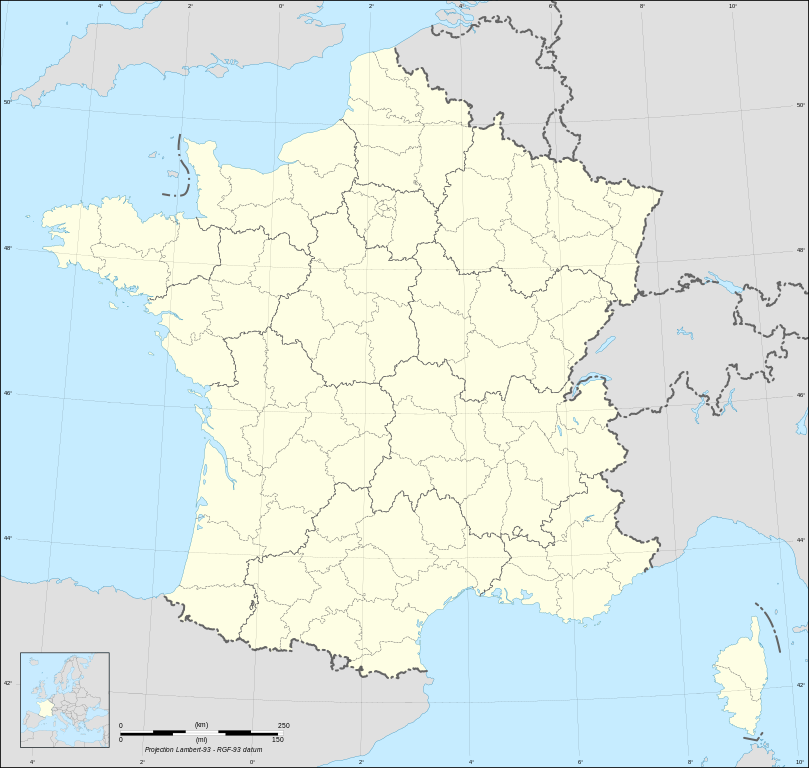
English: Blank map of metropolitan France in the official Lambert-93 projection, with regions and departments as independent polygons. Instructions of use:
Français : Carte vierge de la France métropolitaine suivant la projection officielle Lambert-93, avec régions et départements en tant que polygones indépendants. Instructions d'utilisation :
Lambert-93 projection ; RGF-93 datum |
||
| Data | |||
| Jatorria |
Own work, derivate from France map Lambert-93 with regions and departments-blank.svg created by myself
|
||
| Egilea | Eric Gaba (Sting - fr:Sting) | ||
| Lizentzia (Fitxategi hau berrerabiltzen) |
|
||
| Beste bertsioak |
Derivative works of this file:
[]
Same map but with topography and bathymetry:
|
||
| SVG genesis | Fitxategi hau (bektore-irudia) hau Inkscape-ekin sortu da .
, or with something else. |


Lizentzia
Nik, lan honen egileak, argitaratzen dut ondorengo lizentzia hauen pean:

|
Baimena duzu dokumentu hau kopiatu, banatu edo/eta aldatzeko GNU Free Documentation License baldintzapean, Free Software Foundationek argitaratutako 1.2 edo ondorengo bertsioan; sekzio aldaezinik gabe, azaleko testurik gabe, eta atzeko azaleko testurik gabe. Lizentziaren kopia dago GNU Free Documentation License izenburudun atalean. |
This file is licensed under the Creative Commons Attribution-Share Alike Attribution-Share Alike 4.0 International, 3.0 Unported, 2.5 Generic, 2.0 Generic and 1.0 Generic license.
- Askea zara:
- partekatzeko – lana kopiatzeko, banatzeko eta bidaltzeko
- birnahasteko – lana moldatzeko
- Ondorengo baldintzen pean:
- eskuduntza – Egiletza behar bezala aitortu behar duzu, lizentzia ikusteko esteka gehitu, eta ea aldaketak egin diren aipatu. Era egokian egin behar duzu hori guztia, baina inola ere ez egileak zure lana edo zure erabilera babesten duela irudikatuz.
- berdin partekatu – Lan honetan oinarrituta edo aldatuta berria eraikitzen baduzu, emaitza lana hau bezalako lizentzia batekin argitaratu behar duzu.
Nahiago duzun lizentzia erabil dezakezu.
Fitxategiaren historia
Data/orduan klik egin fitxategiak orduan zuen itxura ikusteko.
| Data/Ordua | Iruditxoa | Neurriak | Erabiltzailea | Iruzkina | |
|---|---|---|---|---|---|
| oraingoa | 17:18, 19 urria 2017 | | 2.000 × 1.898 (1,78 MB) | Sting | No borders over the Lake of Constance |
| 20:58, 3 otsaila 2009 |  | 2.000 × 1.898 (1,79 MB) | Sting | == Summary == {{Location|46|15|00|N|02|06|00|E|scale:5000000}} <br/> {{Information |Description={{en|Blank map of France in the official Lambert-93 projection, with regions and departments as independent polygons.<br/> '''''Instructions of |
Irudira dakarten loturak
Ez dago fitxategi hau darabilen orririk.
Fitxategiaren erabilera orokorra
Hurrengo beste wikiek fitxategi hau darabilte:
- fr.wikipedia.org proiektuan duen erabilera