
Fitxategi:Izu Islands and Zenisu Ridge 500m mesh bathymetry.png
Aurreikuspen honen neurria: 800 × 600 pixel. Bestelako bereizmenak: 320 × 240 pixel | 640 × 480 pixel | 1.024 × 768 pixel | 1.120 × 840 pixel.
Bereizmen handikoa ((1.120 × 840 pixel, fitxategiaren tamaina: 1,32 MB, MIME mota: image/png))
Fitxategi hau Wikimedia Commonsekoa da. Hango deskribapen orriko informazioa behean duzu. |
Laburpena
| Deskribapena |
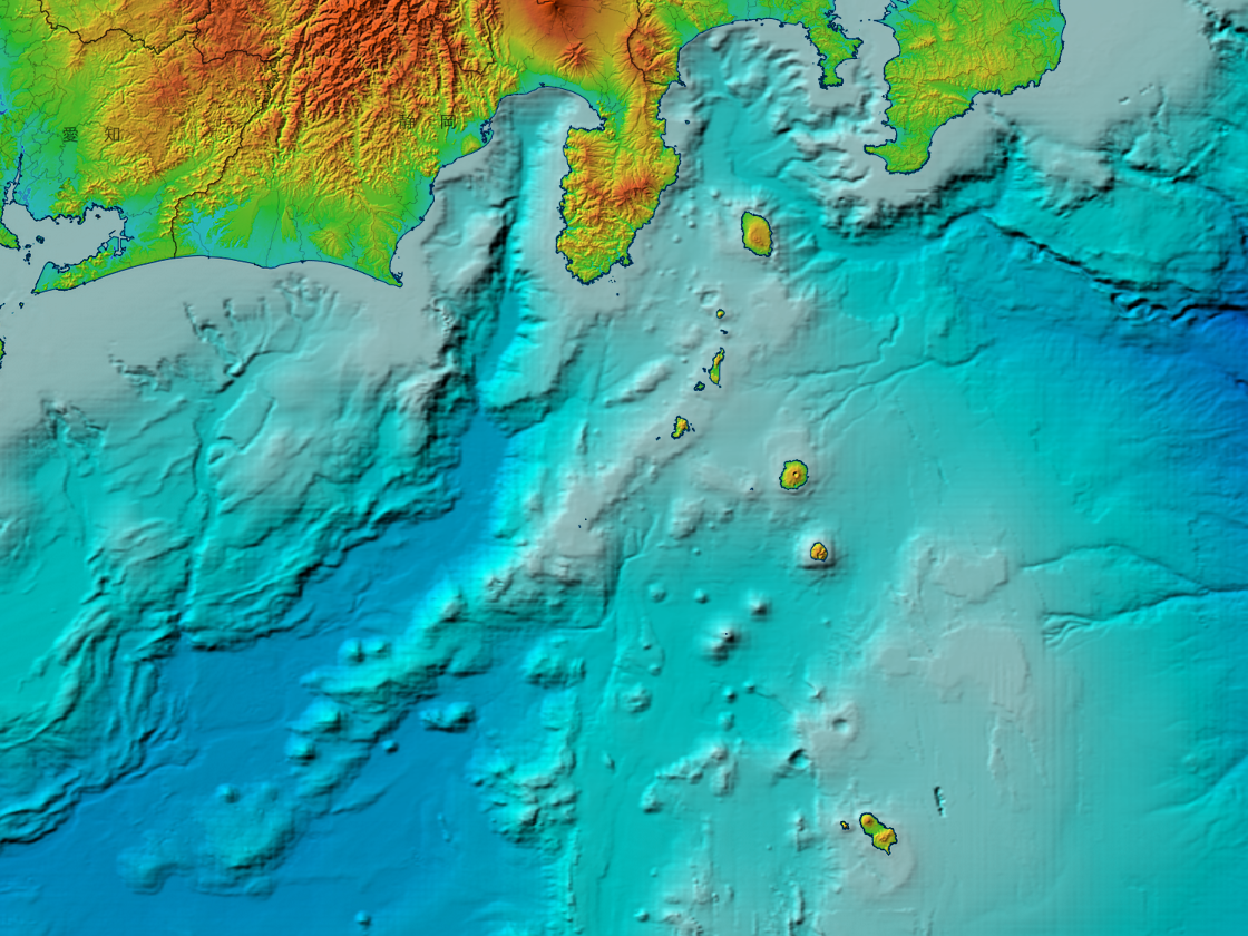
日本語: 伊豆七島と銭洲海嶺付近の海底地形図。国土地理院 地理院地図の色別標高図を使用。ただし、海域部は海上保安庁海洋情報部の資料(500mメッシュ海底地形データ, J-EGG500)を使用。
English: Bathymetric map around Northern Izu Islands and Zenisu Ridge, Japan. Topography data by GSI Maps from Geospatial Information Authority of Japan. Ocean bathymetry data by J-EGG500 from Hydrographic and Oceanographic Department, Japan Coast Guard. |
| Data | |
| Jatorria | 地理院地図のwebビューアを利用して作成。使用タイルは色別標高図と白地図。色別標高図の海域部は海上保安庁海洋情報部の資料(500mメッシュ海底地形データ, J-EGG500)を使用して作成されているもの[1]。 |
| Egilea | Land topography and viewer by 国土地理院 (Geospatial Information Authority of Japan), Bathymetry by 海上保安庁海洋情報部 (Hydrographic and Oceanographic Department, Japan Coast Guard). Captured by Peka. |
Lizentzia

|
This work is licensed under the Government of Japan Standard Terms of Use (Ver.2.0). The Terms of Use are compatible with the Creative Commons Attribution License 4.0 International. For the terms of use of this work, see this license page.
|
This file is licensed under the Creative Commons Attribution 4.0 International license.
Aitortu: 国土地理院 (GSI)
- Askea zara:
- partekatzeko – lana kopiatzeko, banatzeko eta bidaltzeko
- birnahasteko – lana moldatzeko
- Ondorengo baldintzen pean:
- eskuduntza – Egiletza behar bezala aitortu behar duzu, lizentzia ikusteko esteka gehitu, eta ea aldaketak egin diren aipatu. Era egokian egin behar duzu hori guztia, baina inola ere ez egileak zure lana edo zure erabilera babesten duela irudikatuz.
Fitxategiaren historia
Data/orduan klik egin fitxategiak orduan zuen itxura ikusteko.
| Data/Ordua | Iruditxoa | Neurriak | Erabiltzailea | Iruzkina | |
|---|---|---|---|---|---|
| oraingoa | 11:33, 18 otsaila 2023 | | 1.120 × 840 (1,32 MB) | Peka | Uploaded a work by Land topography and viewer by [http://www.gsi.go.jp/ 国土地理院 (Geospatial Information Authority of Japan)], Bathymetry by 海上保安庁海洋情報部 (Hydrographic and Oceanographic Department, Japan Coast Guard). Captured by Peka. from [https://maps.gsi.go.jp/ 地理院地図]のwebビューアを利用して作成。使用タイルは[https://maps.gsi.go.jp/development/ichiran.html#relief 色別標高図]と[https://maps.gsi.go.jp/development/ichiran.html#blank 白地図]。色別標高図の海域部は海上保安庁海洋情報部の資料(500mメッシュ海底地形データ, J-EGG500)を使用して作成されているもの[https... |
Irudira dakarten loturak
Hurrengo orrialdeek dute fitxategi honetarako lotura:
Fitxategiaren erabilera orokorra
Hurrengo beste wikiek fitxategi hau darabilte: