
Fitxategi:Kingdom of England.png
Aurreikuspen honen neurria: 586 × 599 pixel. Bestelako bereizmenak: 235 × 240 pixel | 470 × 480 pixel | 751 × 768 pixel | 1.218 × 1.245 pixel.
Bereizmen handikoa ((1.218 × 1.245 pixel, fitxategiaren tamaina: 20 KB, MIME mota: image/png))
Fitxategi hau Wikimedia Commonsekoa da. Hango deskribapen orriko informazioa behean duzu. |
| Deskribapena |
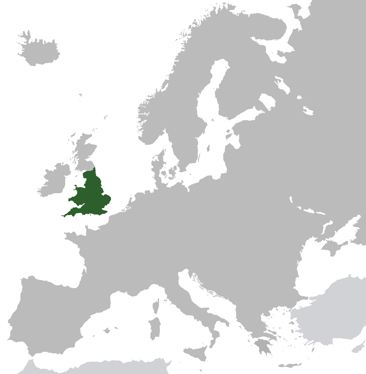
English: Map of the Kingdom of England from ca. 1282 to 1603. Does not include islands attached to the crown, but not incorporated into England, or varying territories in France. |
| Data | |
| Jatorria | Norberak egina (Original text: I created this work entirely by myself.) |
| Egilea | Gav235 (talk) |
Lizentzia
| This work has been released into the public domain by its author, Gav235 at ingelesa Wikipedia. This applies worldwide. Estatu batzuetan beharbada hori ez da legez posible izango. Halakoetan: Gav235 grants anyone the right to use this work for any purpose, without any conditions, unless such conditions are required by law. |
Jatorrizko igoera erregistroa
Transferred from en.wikipedia to Commons by Broadbeer using CommonsHelper.
The original description page was here. All following user names refer to en.wikipedia.
- 2009-07-12 17:25 Gav235 1218×1245× (62805 bytes) {{Information |Description = Map of the Kingdom of England |Source = I created this work entirely by myself. |Date = 12 July 2009 |Author = ~~~ |other_versions = }}
Fitxategiaren historia
Data/orduan klik egin fitxategiak orduan zuen itxura ikusteko.
| Data/Ordua | Iruditxoa | Neurriak | Erabiltzailea | Iruzkina | |
|---|---|---|---|---|---|
| oraingoa | 08:35, 10 azaroa 2014 | | 1.218 × 1.245 (20 KB) | AnonMoos | increasing PNG compression |
| 14:20, 20 otsaila 2014 |  | 1.218 × 1.245 (132 KB) | Rob984 | Non-European regions light grey | |
| 09:16, 23 iraila 2012 |  | 1.218 × 1.245 (39 KB) | TRAJAN 117 | Standardise colours, minor fixes. | |
| 23:38, 12 abendua 2010 |  | 1.218 × 1.245 (39 KB) | VEO15 | Isle of Man + Danish border | |
| 14:48, 6 apirila 2010 |  | 1.218 × 1.245 (39 KB) | Hayden120 | Corrected Cyprus. | |
| 22:13, 26 urria 2009 |  | 1.218 × 1.245 (61 KB) | File Upload Bot (Magnus Manske) | {{BotMoveToCommons|en.wikipedia|year={{subst:CURRENTYEAR}}|month={{subst:CURRENTMONTHNAME}}|day={{subst:CURRENTDAY}}}} {{Information |Description={{en|Map of the Kingdom of England}} |Source=Transferred from [http://en.wikipedia.org en.wikipedia]; transf |
Irudira dakarten loturak
Hurrengo orrialdeek dute fitxategi honetarako lotura:
Fitxategiaren erabilera orokorra
Hurrengo beste wikiek fitxategi hau darabilte:
- af.wikipedia.org proiektuan duen erabilera
- als.wikipedia.org proiektuan duen erabilera
- ar.wikipedia.org proiektuan duen erabilera
- arz.wikipedia.org proiektuan duen erabilera
- ast.wikipedia.org proiektuan duen erabilera
- azb.wikipedia.org proiektuan duen erabilera
- az.wikipedia.org proiektuan duen erabilera
- be.wikipedia.org proiektuan duen erabilera
- bg.wikipedia.org proiektuan duen erabilera
- ca.wikipedia.org proiektuan duen erabilera
- da.wikipedia.org proiektuan duen erabilera
- de.wikipedia.org proiektuan duen erabilera
- el.wikipedia.org proiektuan duen erabilera
- en.wikipedia.org proiektuan duen erabilera
- eo.wikipedia.org proiektuan duen erabilera
- et.wikipedia.org proiektuan duen erabilera
- fr.wikipedia.org proiektuan duen erabilera
- ga.wikipedia.org proiektuan duen erabilera
- gl.wikipedia.org proiektuan duen erabilera
- gv.wikipedia.org proiektuan duen erabilera
- hr.wikipedia.org proiektuan duen erabilera
- ht.wikipedia.org proiektuan duen erabilera
- it.wikipedia.org proiektuan duen erabilera
- kk.wikipedia.org proiektuan duen erabilera
- mk.wikipedia.org proiektuan duen erabilera
- nl.wikipedia.org proiektuan duen erabilera
- pnb.wikipedia.org proiektuan duen erabilera
- pt.wikipedia.org proiektuan duen erabilera
- ro.wikipedia.org proiektuan duen erabilera
- ru.wikipedia.org proiektuan duen erabilera
- sco.wikipedia.org proiektuan duen erabilera
- sh.wikipedia.org proiektuan duen erabilera
- sr.wikipedia.org proiektuan duen erabilera
- sv.wikipedia.org proiektuan duen erabilera
- ta.wikipedia.org proiektuan duen erabilera
- tg.wikipedia.org proiektuan duen erabilera
- tr.wikipedia.org proiektuan duen erabilera
- www.wikidata.org proiektuan duen erabilera
- yo.wikipedia.org proiektuan duen erabilera