
Fitxategi:Mornick - geograph.org.uk - 530641.jpg
Ez dago bereizmen handiagorik.
Mornick_-_geograph.org.uk_-_530641.jpg ((640 × 424 pixel, fitxategiaren tamaina: 196 KB, MIME mota: image/jpeg))
Fitxategi hau Wikimedia Commonsekoa da. Hango deskribapen orriko informazioa behean duzu. |
Laburpena
| Deskribapena |
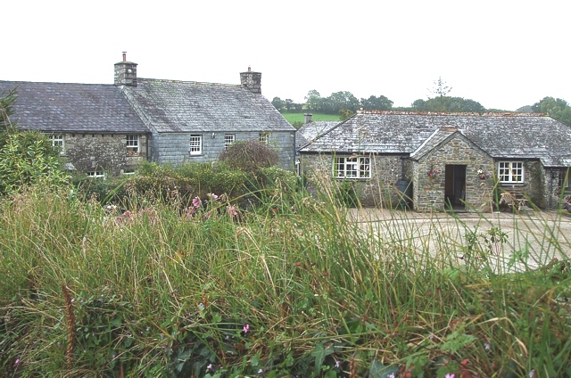
English: Mornick. A view over the hedge of some of the buildings that make up the locality of Mornick. The lanes of this hamlet look a little strange on the map as two of them peter out, though the one that this photo was taken from actually continues as an unfenced, unmetalled track to Stockaton. (see 534076) |
| Data | |
| Jatorria | From geograph.org.uk |
| Egilea | Rob Farrow |
| Aitortu (required by the license) | Rob Farrow / Mornick / |
| Kameraren kokapena | | Irudi hau eta gehiago beraien kokapenekin hurrengo lekuetan: OpenStreetMap |
|---|
_heading:157.00&language=eu)
| Objektuaren kokapena | | Irudi hau eta gehiago beraien kokapenekin hurrengo lekuetan: OpenStreetMap |
|---|
_heading:157.00&language=eu)
Lizentzia

|
This image was taken from the Geograph project collection. See this photograph's page on the Geograph website for the photographer's contact details. The copyright on this image is owned by Rob Farrow and is licensed for reuse under the Creative Commons Attribution-ShareAlike 2.0 license.
|
This file is licensed under the Creative Commons Attribution-Share Alike 2.0 Generic license.
Aitortu: Rob Farrow
- Askea zara:
- partekatzeko – lana kopiatzeko, banatzeko eta bidaltzeko
- birnahasteko – lana moldatzeko
- Ondorengo baldintzen pean:
- eskuduntza – Egiletza behar bezala aitortu behar duzu, lizentzia ikusteko esteka gehitu, eta ea aldaketak egin diren aipatu. Era egokian egin behar duzu hori guztia, baina inola ere ez egileak zure lana edo zure erabilera babesten duela irudikatuz.
- berdin partekatu – Lan honetan oinarrituta edo aldatuta berria eraikitzen baduzu, emaitza lana hau bezalako lizentzia batekin argitaratu behar duzu.
Fitxategiaren historia
Data/orduan klik egin fitxategiak orduan zuen itxura ikusteko.
| Data/Ordua | Iruditxoa | Neurriak | Erabiltzailea | Iruzkina | |
|---|---|---|---|---|---|
| oraingoa | 22:28, 5 otsaila 2011 | | 640 × 424 (196 KB) | GeographBot | == {{int:filedesc}} == {{Information |description={{en|1=Mornick A view over the hedge of some of the buildings that make up the locality of Mornick. The lanes of this hamlet look a little strange on the map as two of them peter out, though the one that t |
Irudira dakarten loturak
Hurrengo orrialdeek dute fitxategi honetarako lotura:
Fitxategiaren erabilera orokorra
Hurrengo beste wikiek fitxategi hau darabilte: