
Fitxategi:Mount Pleasant Historic Site.jpg
Aurreikuspen honen neurria: 800 × 402 pixel. Bestelako bereizmenak: 320 × 161 pixel | 640 × 322 pixel | 1.024 × 515 pixel | 1.280 × 644 pixel | 2.060 × 1.036 pixel.
Bereizmen handikoa ((2.060 × 1.036 pixel, fitxategiaren tamaina: 416 KB, MIME mota: image/jpeg))
Fitxategi hau Wikimedia Commonsekoa da. Hango deskribapen orriko informazioa behean duzu. |
|
This is an image of a place or building that is listed on the National Register of Historic Places in the United States of America. Its reference number is 74001536. |
Laburpena
| Deskribapena |
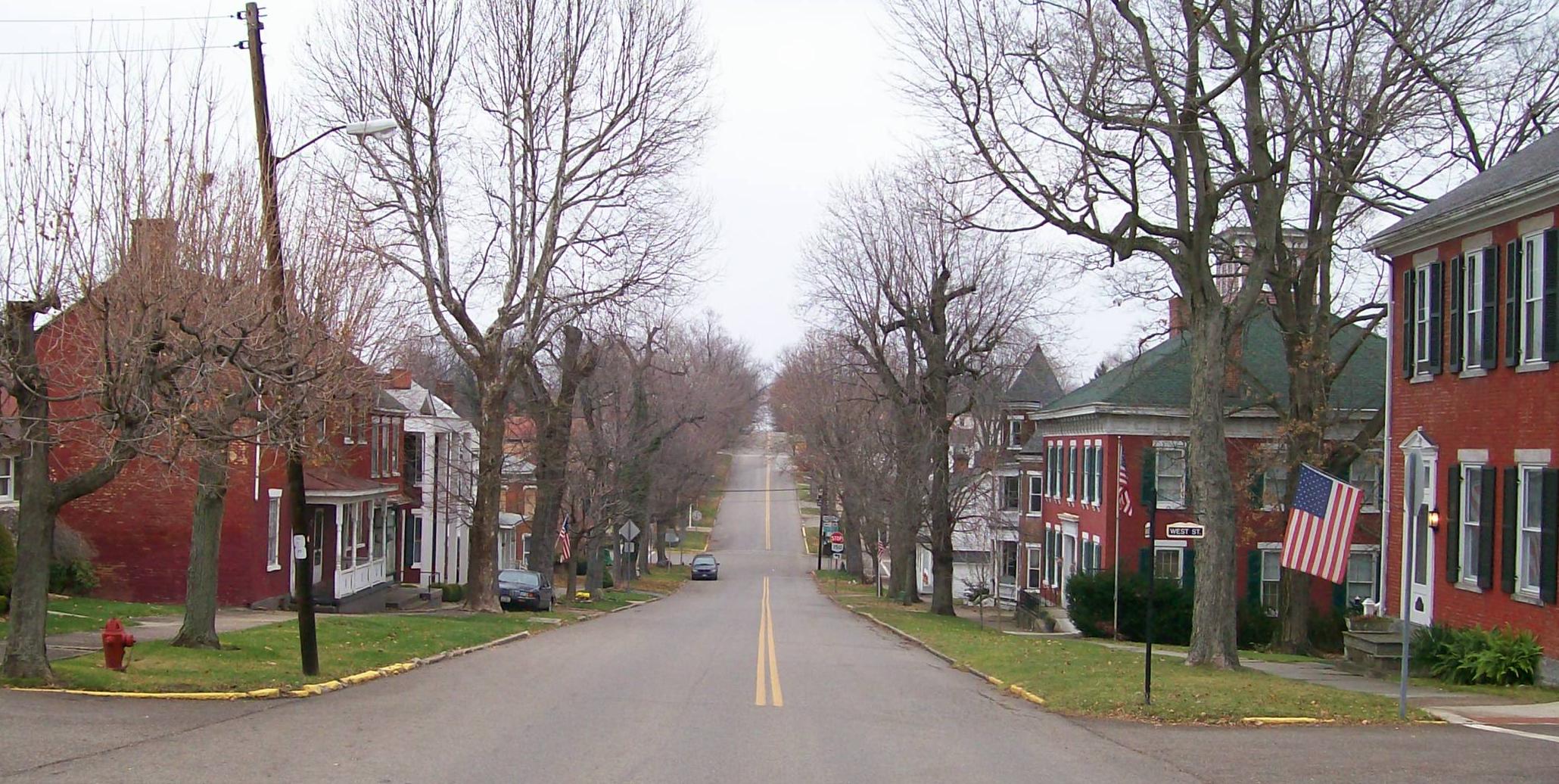
English: The Mount Pleasant Historic District in Ohio looking east along Union Street from its junction with Market Street. The district was added to the National Register of Historic Places in 1974 for national significance in the abolitionist movement including being a stop on the Underground Railroad and intact architectural integrity. Taken on 2009-11-21. |
| Data | (UTC) |
| Jatorria |
I (Bwsmith84 (talk)) created this work entirely by myself. Transferred from en.wikipedia |
| Egilea | Bwsmith84 (talk) |
| Lizentzia (Fitxategi hau berrerabiltzen) |
Bwsmith84 at en.wikipedia, lan honen egileak, argitaratu du edo argitaratzen du ondorengo lizentzia pean: Fitxategi hau Creative Commons Aitortu 3.0 Unported lizentziaren mende dago. Aitortu: Bwsmith84 at en.wikipedia
|
| Objektuaren kokapena | | Irudi hau eta gehiago beraien kokapenekin hurrengo lekuetan: OpenStreetMap |
|---|
Jatorrizko igoera erregistroa
The original description page was here. All following user names refer to en.wikipedia.
- 2009-11-21 22:33 Bwsmith84 2060×1036 (425814 bytes) {{Information |Description = The Mount Plesant Historic Site looking from Market Street to the east. |Source = I (~~~) created this work entirely by myself. |Date = ~~~~~ |Author = ~~~ |other_versions = }}
Fitxategiaren historia
Data/orduan klik egin fitxategiak orduan zuen itxura ikusteko.
| Data/Ordua | Iruditxoa | Neurriak | Erabiltzailea | Iruzkina | |
|---|---|---|---|---|---|
| oraingoa | 11:42, 9 urtarrila 2012 | | 2.060 × 1.036 (416 KB) | BotMultichillT | {{BotMoveToCommons|en.wikipedia|year={{subst:CURRENTYEAR}}|month={{subst:CURRENTMONTHNAME}}|day={{subst:CURRENTDAY}}}} == {{int:filedesc}} == {{Information |description={{en|1=The Mount Pleasant Historic District in Ohio looking east along Union Street f |
Irudira dakarten loturak
Hurrengo orrialdeek dute fitxategi honetarako lotura:
Fitxategiaren erabilera orokorra
Hurrengo beste wikiek fitxategi hau darabilte:
- ar.wikipedia.org proiektuan duen erabilera
- ca.wikipedia.org proiektuan duen erabilera
- ceb.wikipedia.org proiektuan duen erabilera
- cy.wikipedia.org proiektuan duen erabilera
- en.wikipedia.org proiektuan duen erabilera
- es.wikipedia.org proiektuan duen erabilera
- fr.wikipedia.org proiektuan duen erabilera
- ht.wikipedia.org proiektuan duen erabilera
- it.wikipedia.org proiektuan duen erabilera
- lld.wikipedia.org proiektuan duen erabilera
- pl.wikipedia.org proiektuan duen erabilera
- pt.wikipedia.org proiektuan duen erabilera
- sh.wikipedia.org proiektuan duen erabilera
- sr.wikipedia.org proiektuan duen erabilera
- uk.wikipedia.org proiektuan duen erabilera
- vi.wikipedia.org proiektuan duen erabilera
- www.wikidata.org proiektuan duen erabilera
- zh-min-nan.wikipedia.org proiektuan duen erabilera