
Fitxategi:Somalia sat.png

Aurreikuspen honen neurria: 458 × 599 pixel. Bestelako bereizmenak: 183 × 240 pixel | 367 × 480 pixel | 587 × 768 pixel | 1.252 × 1.638 pixel.
Bereizmen handikoa ((1.252 × 1.638 pixel, fitxategiaren tamaina: 2,26 MB, MIME mota: image/png))
Fitxategi hau Wikimedia Commonsekoa da. Hango deskribapen orriko informazioa behean duzu. |
K
Laburpena
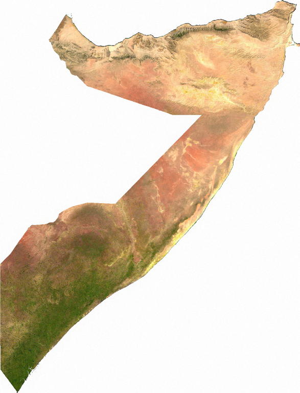
Raster data download July 12, 2006 from The Map Library: exported to TIFF format, and converted to PNG via GIMP.
Lizentzia
| This file is in the public domain, because it was generated by a user, using free sources available at The Map Library.
Note that this does not include the maps in the Global Administrative Areas section of the homepage. |
Fitxategiaren historia
Data/orduan klik egin fitxategiak orduan zuen itxura ikusteko.
| Data/Ordua | Iruditxoa | Neurriak | Erabiltzailea | Iruzkina | |
|---|---|---|---|---|---|
| oraingoa | 03:56, 13 uztaila 2006 | | 1.252 × 1.638 (2,26 MB) | Unquietwiki | Raster data download July 12, 2006 from The Map Library: exported to TIFF format, and converted to PNG via GIMP. == Licensing == {{PD-MapProject}} |
Irudira dakarten loturak
Ez dago fitxategi hau darabilen orririk.
Fitxategiaren erabilera orokorra
Hurrengo beste wikiek fitxategi hau darabilte:
- af.wikipedia.org proiektuan duen erabilera
- bg.wikipedia.org proiektuan duen erabilera
- de.wikipedia.org proiektuan duen erabilera
- en.wikipedia.org proiektuan duen erabilera
- eo.wikipedia.org proiektuan duen erabilera
- fr.wikipedia.org proiektuan duen erabilera
- hr.wikipedia.org proiektuan duen erabilera
- hu.wikipedia.org proiektuan duen erabilera
- it.wikipedia.org proiektuan duen erabilera
- ka.wikipedia.org proiektuan duen erabilera
- pl.wikipedia.org proiektuan duen erabilera
- pt.wikipedia.org proiektuan duen erabilera
- ru.wikipedia.org proiektuan duen erabilera
- so.wikipedia.org proiektuan duen erabilera
- uk.wikipedia.org proiektuan duen erabilera
- vec.wikipedia.org proiektuan duen erabilera