
Fitxategi:Iberian Peninsula antique map.jpg

Bereizmen handikoa ((2.096 × 1.700 pixel, fitxategiaren tamaina: 5,81 MB, MIME mota: image/jpeg))
Fitxategi hau Wikimedia Commonsekoa da. Hango deskribapen orriko informazioa behean duzu. |
|
Laburpena
| Deskribapena |
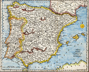
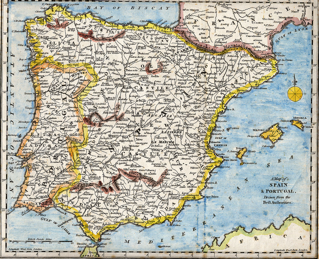
English: 18th century hand-coloured engraved map of the Iberian peninsula depicting various topographical features of the land, as published in Robert Wilkinson's General Atlas, circa 1794. (Volume 2., page 666.)
Titl'd A Map of Spain & Portugal, Drawn from the Beſt Authorities Español: Mapa del siglo XVIII grabado al cobre e iluminado a mano, representando varias características topográficas de la Península Ibérica. Publicado en el atlas general de Robert Wilkinson (volumen 2., página 666.)
Português: Mapa do século XVIII gravado em cobre e iluminado a mão, representando várias características topográficas da Península Ibérica. Publicado no atlas geral de Robert Wilkinson (volume 2., página 666.)
Català: Mapa del segle XVIII grabat al coure i il·luminat a mà, representant diverses característiques topogràfiques de la Península Ibèrica. Publicat en l'atles general de Robert Walkinson (volum 2., pàgina 666) |
|||||||||||||||||||
| Data | circa 1794 | |||||||||||||||||||
| Jatorria | Scanned from my personal collection. (scanned by User:RedCoat) | |||||||||||||||||||
| Egilea |
|
|||||||||||||||||||
| Location | [published at] No. 58 Cornhill London, England | |||||||||||||||||||
Lizentzia
|
Lan hau jabetza publikoan dago bai bere jatorrizko herrialdean, bai egile eskubideak egilea hil eta 70 urtera edo gutxiagora iraungitzen diren gainerako herrialdeetan.
| |
| This file has been identified as being free of known restrictions under copyright law, including all related and neighboring rights. | |
Fitxategiaren historia
Data/orduan klik egin fitxategiak orduan zuen itxura ikusteko.
| Data/Ordua | Iruditxoa | Neurriak | Erabiltzailea | Iruzkina | |
|---|---|---|---|---|---|
| oraingoa | 19:01, 28 urria 2007 | | 2.096 × 1.700 (5,81 MB) | RedCoat | {{Information | Description ={{en|18th century hand-coloured engraved map of the Iberian peninsula depicting various topographical features of the land, as published in Robert Wilkinson's ''General Atlas'', circa 1794. |
Irudira dakarten loturak
Hurrengo orrialdeek dute fitxategi honetarako lotura:
Fitxategiaren erabilera orokorra
Hurrengo beste wikiek fitxategi hau darabilte:
- ar.wikipedia.org proiektuan duen erabilera
- ast.wikipedia.org proiektuan duen erabilera
- azb.wikipedia.org proiektuan duen erabilera
- ba.wikipedia.org proiektuan duen erabilera
- bg.wikipedia.org proiektuan duen erabilera
- ca.wikipedia.org proiektuan duen erabilera
- de.wikipedia.org proiektuan duen erabilera
- en.wikipedia.org proiektuan duen erabilera
- History of Spain
- Portal:Geography
- Portal:Spain
- Portal:Portugal
- Portal:Portugal/Recognized content
- Portal:European Union/Selected picture
- Portal:Maps/Selected picture
- Loa (Spanish play)
- Wikipedia:Featured pictures thumbs/07
- Wikipedia:WikiProject Portugal/FAC
- Portal:European Union/Selected picture/5
- Wikipedia:WikiProject Gibraltar
- Wikipedia:Featured picture candidates/July-2007
- Wikipedia:Wikipedia Signpost/2007-07-23/Features and admins
- Wikipedia:Featured picture candidates/Iberian Peninsula antique map.jpg
- Wikipedia:Wikipedia Signpost/2007-07-23/SPV
- Robert Wilkinson (cartographer)
- User talk:RedCoat10/Archive 2
- Portal:Maps/Selected picture/9
- Wikipedia:Picture of the day/November 2007
- Template:POTD/2007-11-11
- User talk:RedCoat10/Archive 3
- Portal:Spain/Exemplary content
- Wikipedia:Featured pictures/Diagrams, drawings, and maps/Maps
- Wikipedia:WikiProject Spain/Recognized content
- Iberian ship development, 1400–1600
- Portal:Geography/Selected picture
- Wikipedia:WikiProject Portugal/Recognized content
- Wikipedia:Wikipedia Signpost/Single/2007-07-23
- es.wikipedia.org proiektuan duen erabilera
- fa.wikipedia.org proiektuan duen erabilera
- it.wikipedia.org proiektuan duen erabilera
- mg.wikipedia.org proiektuan duen erabilera
- ml.wikipedia.org proiektuan duen erabilera
- ms.wikipedia.org proiektuan duen erabilera
- mwl.wikipedia.org proiektuan duen erabilera
- nn.wikipedia.org proiektuan duen erabilera
Ikus fitxategi honen erabilpen global gehiago.